South Charleston in Kanawha County, West Virginia — The American South (Appalachia)
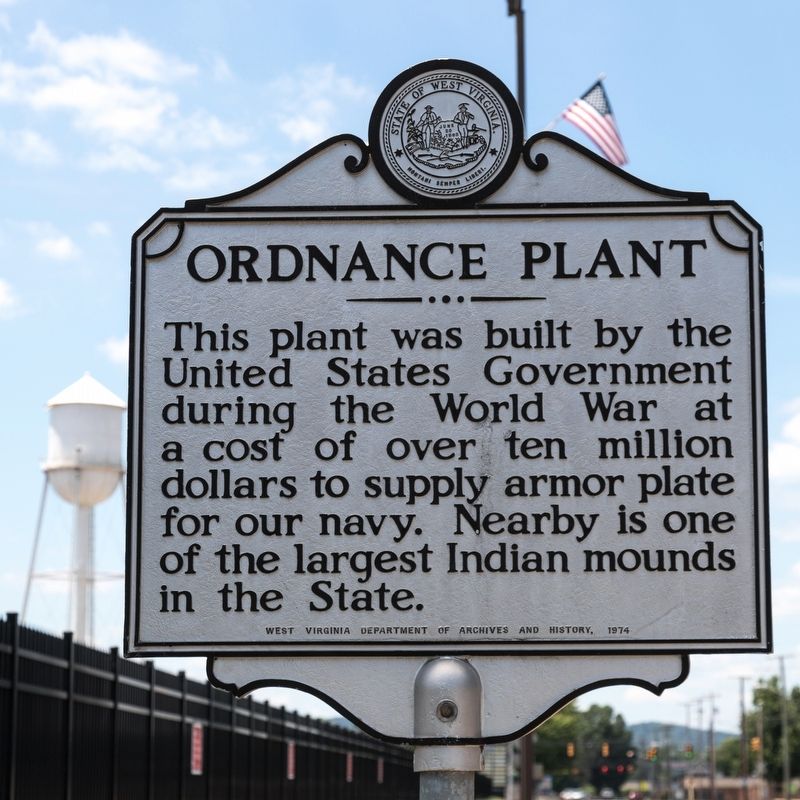
Ordnance Plant
Erected 1974 by West Virginia Department of Archives and History.
Topics and series. This historical marker is listed in these topic lists: Industry & Commerce • Military • War, World I • War, World II. In addition, it is included in the West Virginia Archives and History series list. A significant historical year for this entry is 1939.
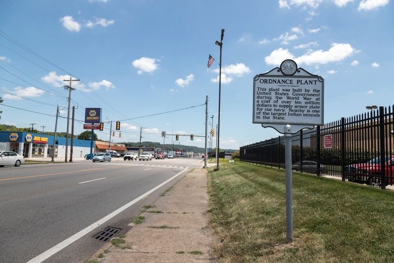
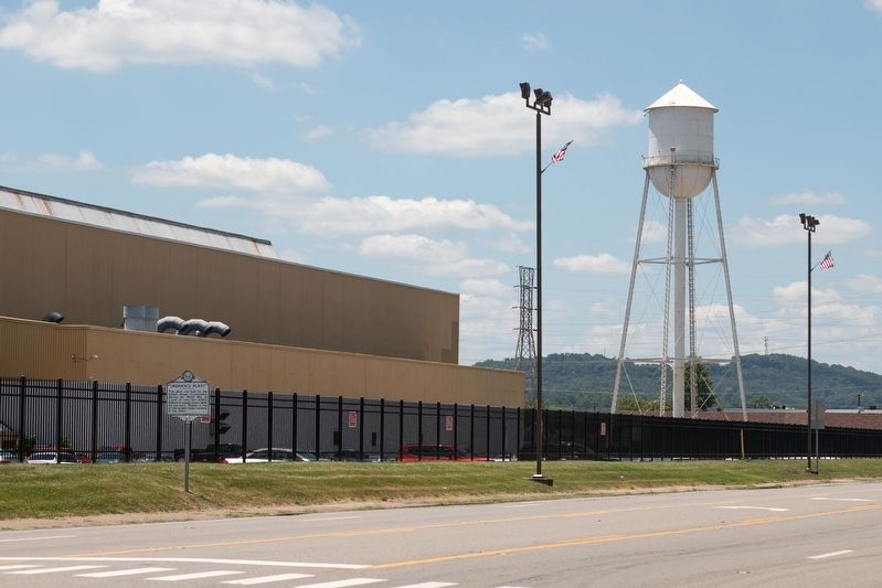
Location. 38° 21.979′ N, 81° 42.211′ W. Marker is in South Charleston, West Virginia, in Kanawha County. Marker is at the intersection of MacCorkle Avenue SW (U.S. 60) and G Street, on the right when traveling east on MacCorkle Avenue SW. Touch for map. Marker is at or near this postal address: 3200 MacCorkle Ave SW, Charleston WV 25303, United States of America. Touch for directions.
Other nearby markers. At least 8 other markers are within walking distance of this marker. Indian Mound (approx. 0.4 miles away); Ancient 500 B.C. Culture Unearthed (approx. 0.4 miles away); Adena Trade and Technology (approx. 0.4 miles away); Kanawha Valley Mound Builders (approx. 0.4 miles away); Respect for an Ancient Culture (approx. 0.4 miles away); Adena Way of Life (approx. 0.4 miles away); Burial Mound of the Adena Indians (approx. 0.4 miles away); Vietnam War Memorial (approx. half a mile away). Touch for a list and map of all markers in South Charleston.
Also see . . . Clio entry for this historic site. Excerpt: “Construction of the original facility began in 1917, but only a small number of gun forgings were completed in time for World War I. Put into a state of hibernation by the Washington Naval Treaty of 1922, the plant was reopened and expanded in 1939 and contributed significantly to the War Department’s efforts to produce weapons in the second World War.” (Submitted on August 2, 2019.)
Credits. This page was last revised on August 2, 2019. It was originally submitted on August 2, 2019, by J. J. Prats of Powell, Ohio. This page has been viewed 286 times since then and 23 times this year. Photos: 1, 2, 3. submitted on August 2, 2019, by J. J. Prats of Powell, Ohio.


