Nellis in Boone County, West Virginia — The American South (Appalachia)
Nellis / ARMCO Coal
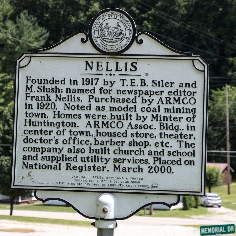
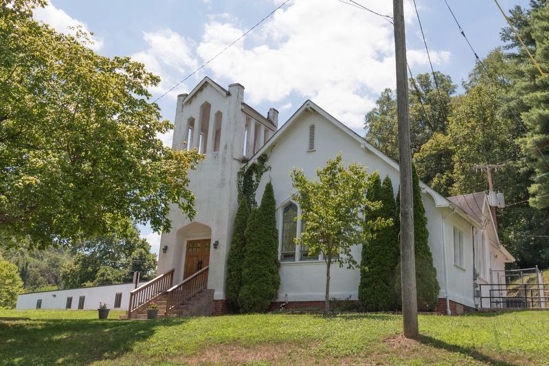
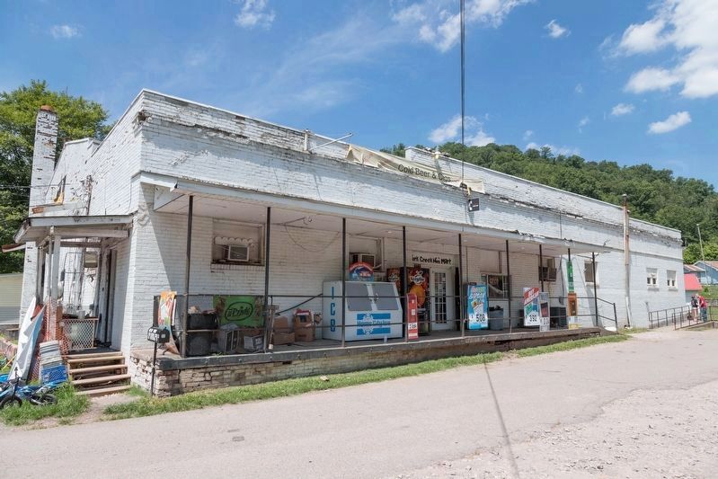
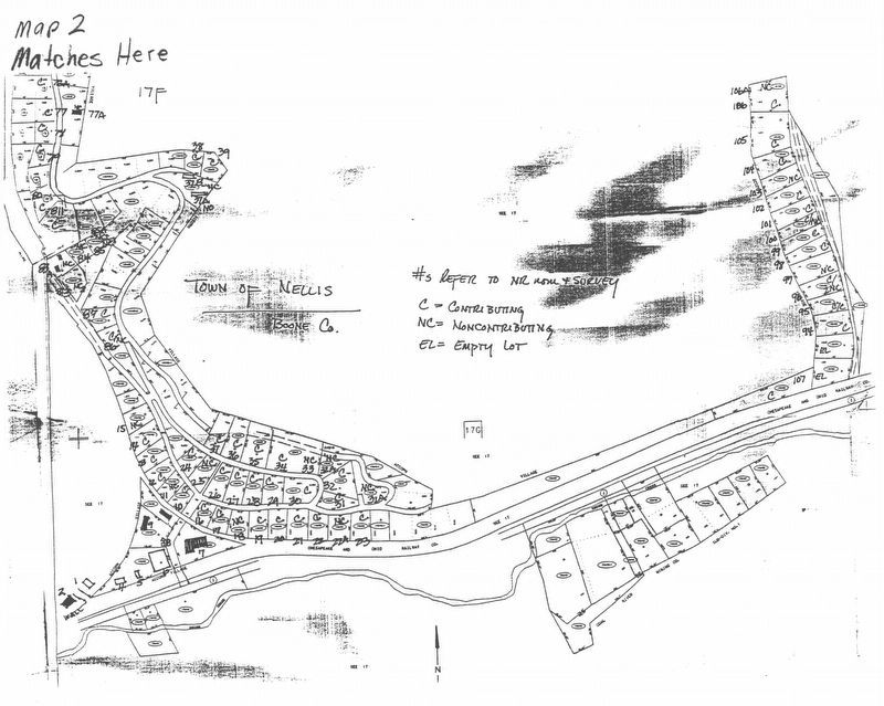
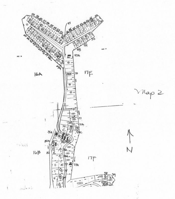
Founded in 1917 by T. E. B. Siler and M. Slush; named for newspaper editor Frank Nellis. Purchased by ARMCO in 1920. Noted as model coal mining town. Homes were built by Minter of Huntington. ARMCO Assoc. Building, in center of town, housed store, theater, doctor’s office, barber shop, etc. The company also built church and school and supplied utility services. Placed on National Register, March 2000.
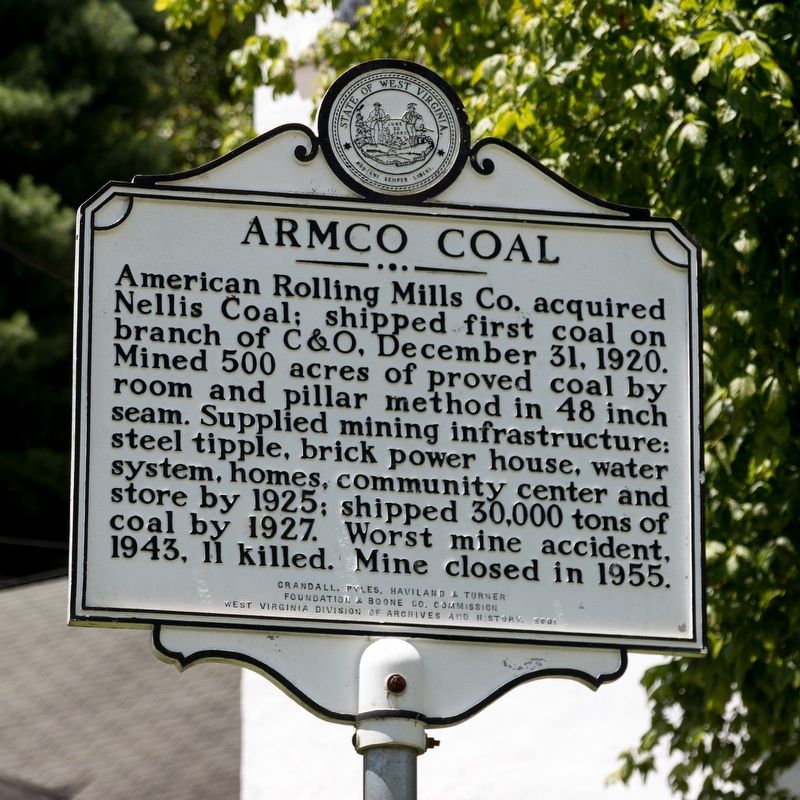
American Rolling Mills Co. acquired Nellis Coal; shipped first coal on branch of C&O, December 31, 1920. Mined 500 acres of proved coal by room and pillar method in 48 inch seam. Supplied mining infrastructure: steel tipple, brick power house, water system, homes, community center and store by 1925; shipped 30,000 tons of coal by 1927. Worst mine accident, 1943, 11 killed. Mine closed in 1955.
Erected 2001 by Crandall, Pyles, Haviland & Turner Foundation, Boone County Commission, and West Virginia Division of Archives and History.
Topics and series. This historical marker is listed in these topic lists: Disasters • Industry & Commerce • Natural Resources. In addition, it is included in the West Virginia Archives and History series list. A significant historical month for this entry is March 2000.
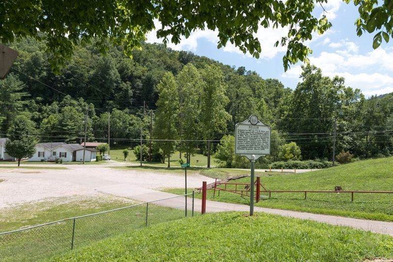
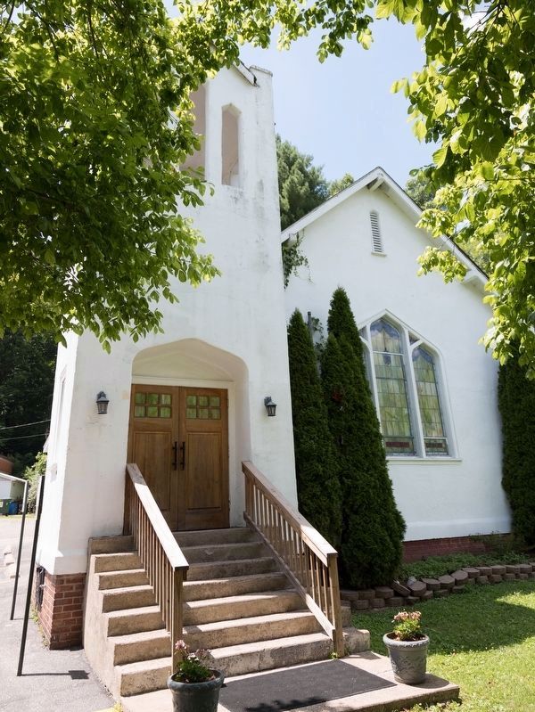
Location. 38° 9.005′ N, 81° 44.648′ W. Marker is in Nellis, West Virginia, in Boone County. Marker is on Memorial Drive north of Ridgeview-Nellis Road (County Route 1), on the right when traveling west. It is in front of the church. Touch for map. Marker is at or near this postal address: 160 Memorial Dr, Nellis WV 25142, United States of America. Touch for directions.
Other nearby markers. At least 8 other markers are within 7 miles of this marker, measured as the crow flies. Nellis No. 3 Mine Explosion (within shouting distance of this marker); Indian Camp (approx. 3.3 miles away); John Edward Kenna (approx. 3.3 miles away); Coal Discovered (approx. 3.6 miles away); Peytona (approx. 3.7 miles away); Robert Hager (approx. 6.8 miles away); Madison (approx. 7.1 miles away); Boon County World War Memorial (approx. 7.1 miles away).
Also see . . . Nellis Historic District. West Virginia Department of Arts, Culture and History website entry (Submitted on January 21, 2022, by Larry Gertner of New York, New York.)
Additional commentary.
1. Railroad Service to Nellis
A review of the December 1925 Official Guide of the Railways finds a listing for Nellis as a station on the Chesapeake and Ohio Railway system, but it came with an asterisk. “Stations marked * are on the line indicated, but are not shown in time-tables in the body of The Guide.” This meant that the C&O railroad did not want to pay to show passenger train timetables for some of its smaller branch lines.
The Guide was used by ticket and travel agents nationwide to sell railroad tickets to and from any two towns in North America, even if those towns were on different railroads. If someone wanted to go to Nellis, because of the lack of a timetable in the Guide the agent would have to telegraph the C&O railroad for information on how to write up the ticket.
The NRHP Nomination Form’s Statement of Significance describes the C&O branch line that ran through Nellis as follows: “There were two passenger trains a day leaving from a platform next to the coal company store's confectionary shop, one in the morning and the second in the evening. The coal trains ran night and day. For 10 cents, one could travel the few miles from Nellis to Ridgeview, or Nellis to Brushton.”
The Guide has the timetable for Brushton, and typically branch-line train schedules would be coordinated with the arrival and departure of more important trains such as the ones traveling through Brushton. A savvy traveler would buy a ticket to Brushton and assume the train to Nellis would be waiting across the platform. He or she would simply board the Nellis train and give the conductor a dime to pay the additional fare.
Brushton had a morning (10:00 a.m.) and an evening (3:37 p.m.) train to St. Albans. The 25 mile ride to St. Albans, with stops at Broundland, Sproul, Alum Creek, and Upper Falls, took an hour and 20 minutes. St. Albans was on the C&O main line between Cincinnati Ohio and Norfolk Virginia with C&O express trains like the Fast Flying Virginian and the Mid-West Limited that carried through cars to Washington DC, New York City, Chicago, St. Louis, Richmond Virginia, Louisville Kentucky, and other points in the Midwest and the Mid-Atlantic coast.
— Submitted August 3, 2019, by J. J. Prats of Powell, Ohio.
Credits. This page was last revised on January 21, 2022. It was originally submitted on August 3, 2019, by J. J. Prats of Powell, Ohio. This page has been viewed 682 times since then and 53 times this year. Photos: 1, 2, 3, 4, 5, 6, 7, 8. submitted on August 3, 2019, by J. J. Prats of Powell, Ohio.
Editor’s want-list for this marker. Photos of the different styles of houses • Can you help?
