Mactaquac in York County, New Brunswick — The Atlantic Provinces (North America)
The Village of Jewett's Mills
1799-1966
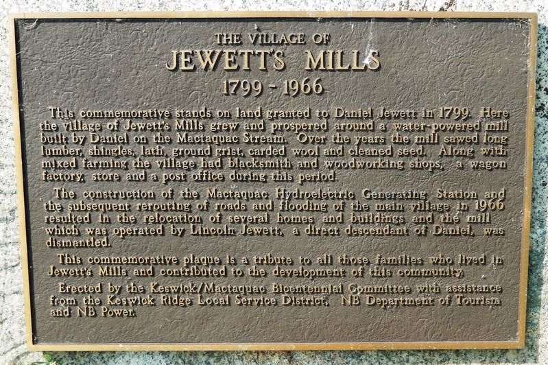
This commemorative stands on land granted to Daniel Jewett in 1799. Here the village of Jewett’s Mills grew and prospered around a water-powered mill built by Daniel on the Mactaquac Stream. Over the years the mill sawed long lumber, shingles, lath, ground grist, carded wool and cleaned seed. Along with mixed farming the village had blacksmith and woodworking shops, a wagon factory, store and a post office during this period.
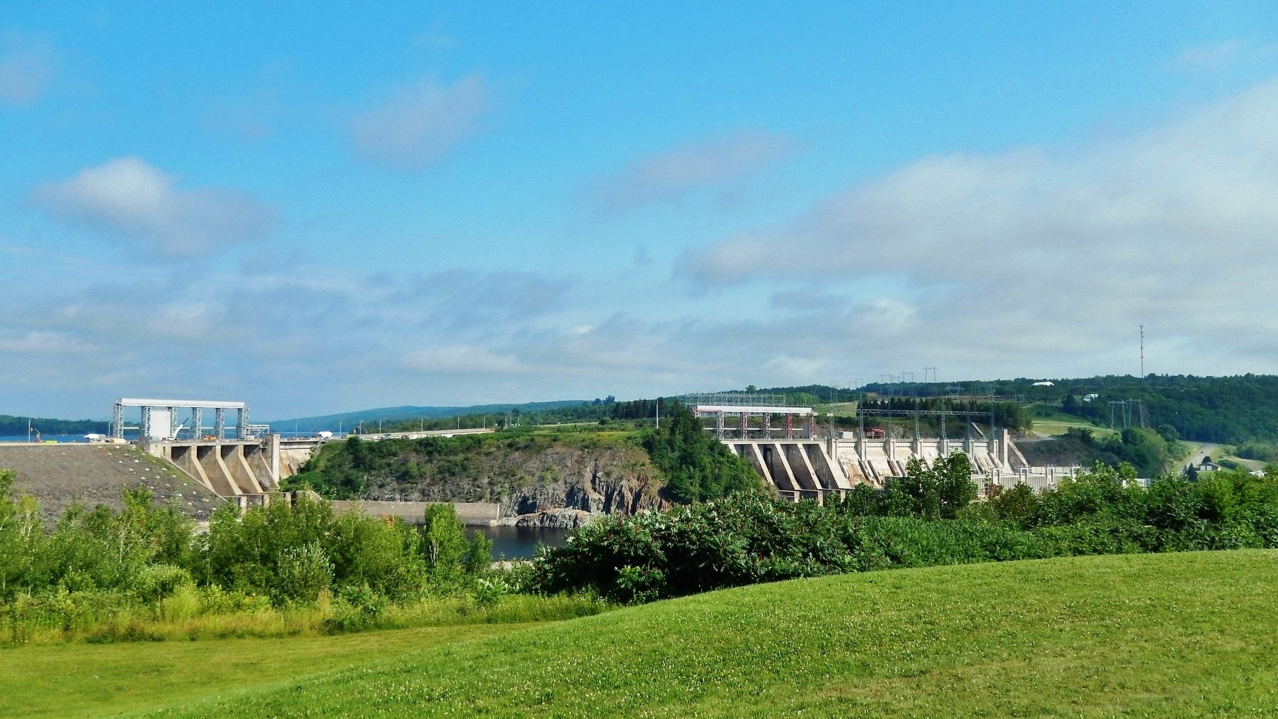
The construction of the Mactaquac Hydroelectric Generating Station and the subsequent rerouting of roads and flooding of the main village in 1966 resulted in the relocation of several homes and buildings and the mill which was operated by Lincoln Jewett, a direct descendant of Daniel, was dismantled.
This commemorative plaque is a tribute to all those families who lived in Jewett’s Mills and contributed to the development of this community.
Erected by Keswick/Mactaquac Bicentennial Committee, Keswick Ridge Local Service District, New Brunswick Department of Tourism, and New Brunswick Power.
Topics. This historical marker is listed in these topic lists: Industry & Commerce • Settlements & Settlers. A significant historical year for this entry is 1799.
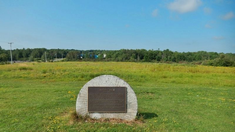
Location. 45° 58.53′ N, 66° 53.463′ W. Marker is in Mactaquac, New Brunswick, in York County. Marker is on Route 105, half a kilometer north of Route 615, on the left when traveling north. Marker is located in a pull-out overlooking the St. John River. Touch for map. Marker is in this post office area: Mactaquac NB E6L 1B3, Canada. Touch for directions.
Other nearby markers. At least 2 other markers are within 13 kilometers of this marker, measured as the crow flies. St. Peter's Anglican Church and Cemetery (approx. 11.7 kilometers away); Kings Landing Historical Settlement 1790-1890 (approx. 12.9 kilometers away).
Regarding The Village of Jewett's Mills. In 1972, Evelyn Gordon and Harry Grant published, “The Vanished Village” - Jewett’s Mills, N.B. which portrays life in a village that was founded by Daniel Jewett in the early 1800's and disappeared in 1967 with the rising waters of the Mactaquac Hydro Development.
Also see . . . Mactaquac Dam. Wikipedia entry:
Electrical generation began in 1968 after the reservoir, Mactaquac Lake, had completely filled. The flooding of the valley resulted in the displacement of several thousand residents and land owners in areas such as Bear Island and other small communities, as well as the abandonment of a Canadian National Railway line and numerous local roads and small rural communities. (Submitted on August 3, 2019, by Cosmos Mariner of Cape Canaveral, Florida.)
Credits. This page was last revised on March 28, 2021. It was originally submitted on August 3, 2019, by Cosmos Mariner of Cape Canaveral, Florida. This page has been viewed 507 times since then and 69 times this year. Photos: 1, 2, 3, 4, 5. submitted on August 3, 2019, by Cosmos Mariner of Cape Canaveral, Florida.
