Poe in Nicholas County, West Virginia — The American South (Appalachia)
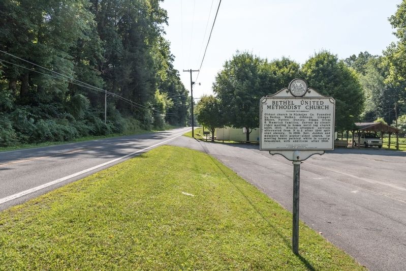
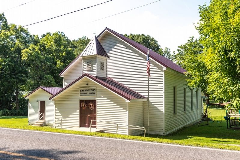
Bethel United Methodist Church
Erected 2001 by Nicholas County Historic Landmark Commission and West Virginia Division of Archives and History.
Topics and series. This historical marker is listed in these topic lists: African Americans • Churches & Religion. In addition, it is included in the West Virginia Archives and History series list. A significant historical year for this entry is 1810.
Location. 38° 15.124′ N, 80° 57.933′ W. Marker is in Poe, West Virginia, in Nicholas County. Marker is on Summersville Lake Road (West Virginia Route 129) 2.6 miles east of Turnpike Road (West Virginia Route 39), on the left when traveling east. Touch for map. Marker is at or near this postal address: 8419 Summersville Lake Rd, Summersville WV 26651, United States of America. Touch for directions.
Other nearby markers. At least 8 other markers are within 3 miles of this marker, measured as the crow flies. Zoar Baptist Church (approx. 1.9 miles away); Keslers Cross Lanes / First County Court (approx. 2.1 miles away); Cross Lanes Battle (approx. 2.1 miles away); North and South (approx. 2.2 miles away); Kesslers Cross Lanes (approx. 2˝ miles away); Pioneer School (approx. 2.6 miles away); Fight At Ramsey’s Fort (approx. 2.7 miles away); Journey's End (approx. 3.1 miles away).
Credits. This page was last revised on June 9, 2020. It was originally submitted on August 19, 2019, by J. J. Prats of Powell, Ohio. This page has been viewed 321 times since then and 66 times this year. Photos: 1, 2, 3. submitted on August 19, 2019, by J. J. Prats of Powell, Ohio.


