Near Jerome in Jerome County, Idaho — The American West (Mountains)
Swimming Hole
Inscription.
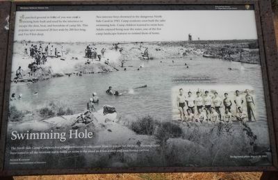
The North Side Canal Company has given permission to take water from its canals for the pools. Warnings have been issued to all residents not to bathe or swim in the canal as it has a deep and treacherous current. -- Arthur Kleinhopf, Minidoka Superintendent of Education
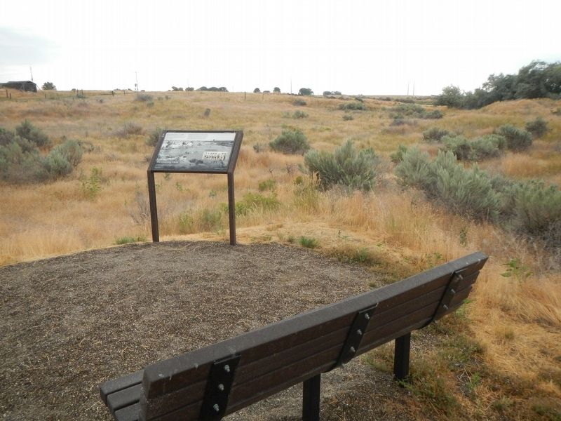
The parched ground in front of you was once a swimming hole built and used by the internees to escape the dust, heat, and boredom of camp life. This popular spot measured 20 feet wide by 200 feet long, and 5 to 9 feet deep.
Two internee boys drowned in the dangerous North Side Canal in 1943. Camp residents soon built the safer swimming hole. Camp children learned to swim here. Adults enjoyed being near the water, one of the few camp landscape features to remind them of home.
Erected by Minidoka National Historic Site, National Park Service.
Topics. This historical marker is listed in these topic lists: Asian Americans • War, World II.
Location. 42° 40.649′ N, 114° 14.573′ W. Marker is near Jerome, Idaho, in Jerome County. Marker can be reached from Hunt Road near South 1450 East, on the right when traveling east. Touch for map. Marker is at or near this postal address: 1458 Hunt Road, Jerome ID 83338, United States of America. Touch for directions.
Other nearby markers. At least 8 other markers are within walking distance of this marker. Supporting the Camp (about 500 feet away, measured in a direct line); Censored Mail (approx. 0.3 miles away); Running a Camp (approx. 0.4 miles away); Honor Roll (approx. 0.4 miles away); A Question of Loyalty (approx. 0.4 miles away); Minidoka National Historic Site (approx. 0.4 miles away); Minidoka Relocation Center (approx. 0.4 miles away); Soothing Waters (approx. 0.4 miles away). Touch for a list and map of all markers in Jerome.
Credits. This page was last revised on August 30, 2019. It was originally submitted on August 30, 2019, by Barry Swackhamer of Brentwood, California. This page has been viewed 144 times since then and 10 times this year. Photos: 1, 2. submitted on August 30, 2019, by Barry Swackhamer of Brentwood, California.

