Cole Harbour in Guysborough County, Nova Scotia — The Atlantic Provinces (North America)
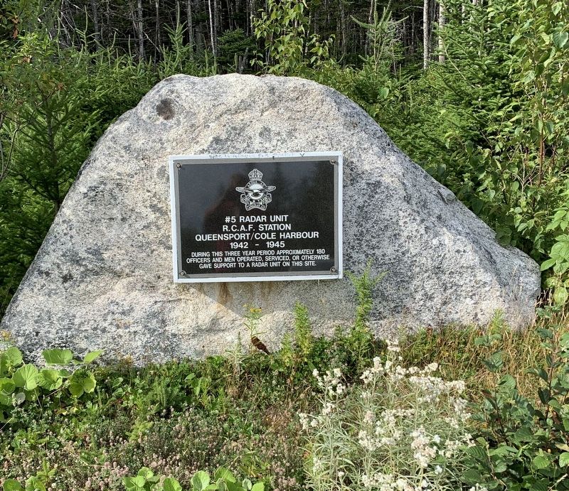
#5 Radar Unit R.C.A.F Station
Queensport/Cole Harbour
— 1942-1945 —
Topics. This historical marker is listed in these topic lists: Air & Space • War, World II.
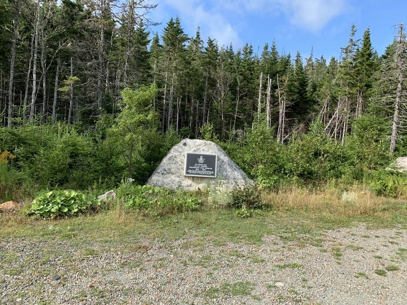
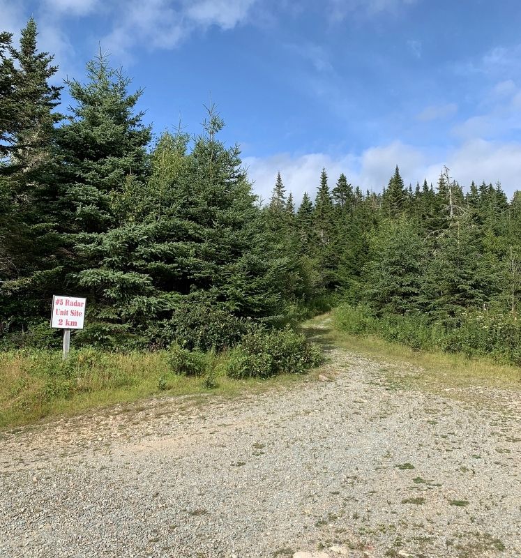
Location. 45° 16.07′ N, 61° 16.366′ W. Marker is in Cole Harbour, Nova Scotia, in Guysborough County. Marker is on Marine Drive (Nova Scotia Route 316), on the right when traveling west. Touch for map. Marker is in this post office area: Cole Harbour NS B2W 4X4, Canada. Touch for directions.
Other nearby markers. At least 8 other markers are within 8 kilometers of this marker, measured as the crow flies. We Will Remember/Nous Nous Souviendrons (a few steps from this marker); Captain Savalette (approx. 4.8 kilometers away); Welcome to Place Savalette (approx. 4.8 kilometers away); Folklore & Trivia (approx. 7 kilometers away); Port Felix (approx. 7 kilometers away); Yankee Cove (approx. 7.1 kilometers away); The Canal (approx. 7.1 kilometers away); Whitehead (approx. 7.1 kilometers away).
Credits. This page was last revised on September 9, 2019. It was originally submitted on September 9, 2019, by Steve Stoessel of Niskayuna, New York. This page has been viewed 299 times since then and 39 times this year. Photos: 1, 2, 3. submitted on September 9, 2019, by Steve Stoessel of Niskayuna, New York. • Andrew Ruppenstein was the editor who published this page.


