Pittsburg in Camp County, Texas — The American South (West South Central)
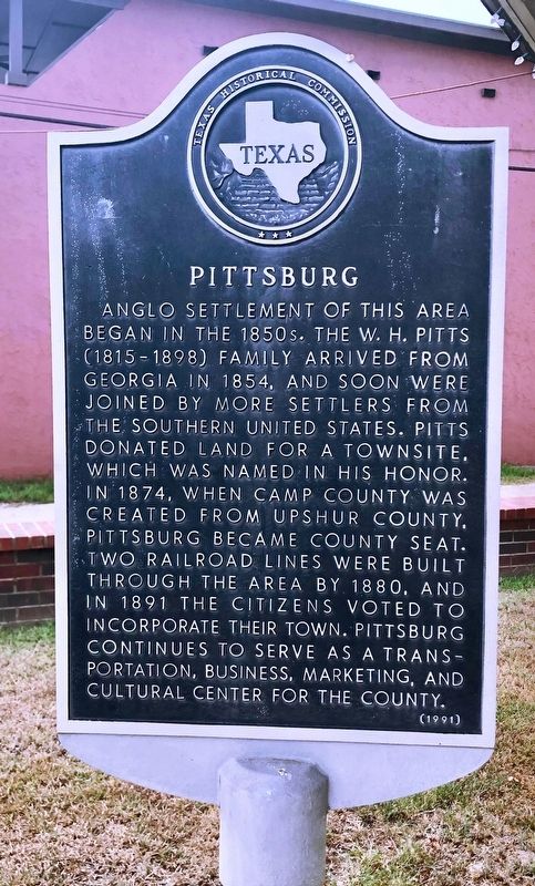
Pittsburg
Erected 1991 by Texas Historical Commission. (Marker Number 9805.)
Topics. This historical marker is listed in these topic lists: Political Subdivisions • Railroads & Streetcars • Settlements & Settlers. A significant historical year for this entry is 1854.
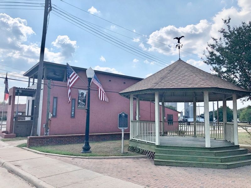
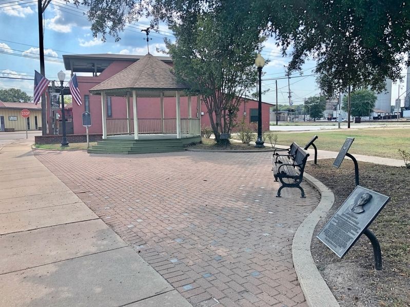
Location. 32° 59.725′ N, 94° 58.101′ W. Marker is in Pittsburg, Texas, in Camp County. Marker is on Market Street south of Quitman Street (State Route 11), on the right when traveling south. Located in Pendergrass Park. Touch for map. Marker is at or near this postal address: Market Street, Pittsburg TX 75686, United States of America. Touch for directions.
Other nearby markers. At least 8 other markers are within walking distance of this marker. Shootout at the Pittsburg Depot (within shouting distance of this marker); Cotton Belt Depot (within shouting distance of this marker); W. L. Garrett Building (about 300 feet away, measured in a direct line); Site of First Carnegie Library in Texas (about 400 feet away); Farmer's Feed and Seed Company (about 500 feet away); First Methodist Church of Pittsburg (about 600 feet away); William Harrison Pitts (approx. 0.2 miles away); Pitts Family Cemetery (approx. 0.2 miles away). Touch for a list and map of all markers in Pittsburg.
Also see . . . Texas State Historical Association on Pittsburg. (Submitted on September 9, 2019, by Mark Hilton of Montgomery, Alabama.)
Credits. This page was last revised on September 9, 2019. It was originally submitted on September 9, 2019, by Mark Hilton of Montgomery, Alabama. This page has been viewed 292 times since then and 30 times this year. Photos: 1, 2, 3. submitted on September 9, 2019, by Mark Hilton of Montgomery, Alabama.


