St. George in Washington County, Utah — The American Mountains (Southwest)
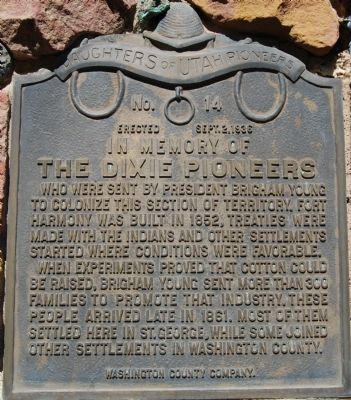
The Dixie Pioneers
Erected 1936 by Daughters of Utah Pioneers. (Marker Number 14.)
Topics and series. This historical marker is listed in this topic list: Settlements & Settlers. In addition, it is included in the Daughters of Utah Pioneers series list. A significant historical year for this entry is 1852.
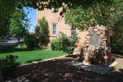
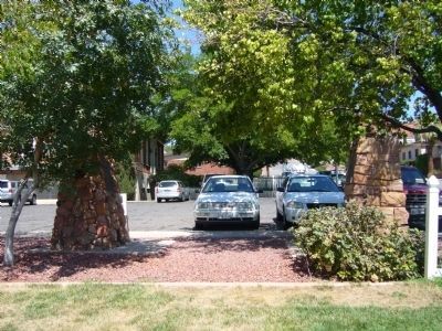
Location. 37° 6.617′ N, 113° 34.885′ W. Marker is in St. George, Utah, in Washington County. Marker is on St. George Boulevard. It is in the courtyard of Chamber of Commerce Building. Touch for map. Marker is at or near this postal address: 97 E St George Blvd, Saint George UT 84770, United States of America. Touch for directions.
Other nearby markers. At least 8 other markers are within walking distance of this marker. The Stone Quarries (here, next to this marker); Old Washington County Courthouse (within shouting distance of this marker); Pioneer Museum (within shouting distance of this marker); Pioneer – Washington County - Courthouse (within shouting distance of this marker); Iron Pile Driver (within shouting distance of this marker); Pioneer Courthouse (about 500 feet away, measured in a direct line); St. George Social Hall “Opera House” (about 500 feet away); And the Desert Shall Blossom (about 500 feet away). Touch for a list and map of all markers in St. George.
Credits. This page was last revised on June 16, 2016. It was originally submitted on June 27, 2007, by Dawn Bowen of Fredericksburg, Virginia. This page has been viewed 1,348 times since then and 30 times this year. Photos: 1, 2. submitted on June 27, 2007, by Dawn Bowen of Fredericksburg, Virginia. 3. submitted on September 3, 2012, by Bill Kirchner of Tucson, Arizona. • J. J. Prats was the editor who published this page.


