Buchanan in Botetourt County, Virginia — The American South (Mid-Atlantic)
A Bridge Over Time
Buchanan Crosses the Mighty James
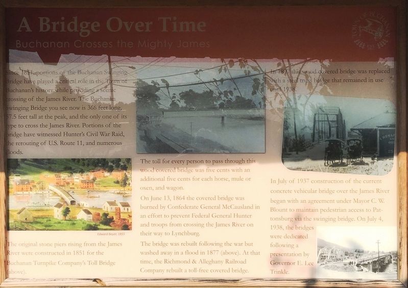
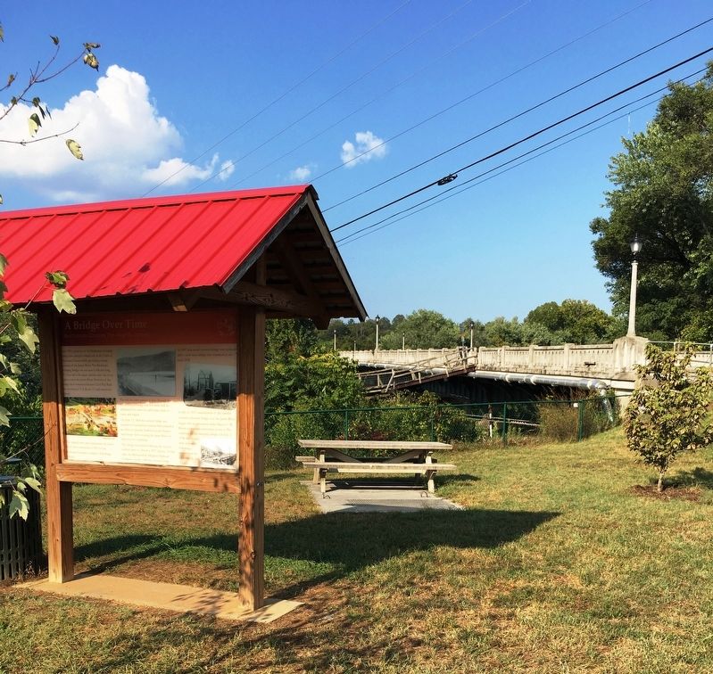
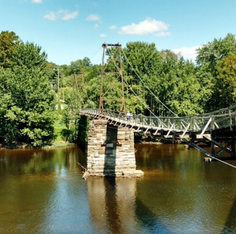
Since 1851, portions of the Buchanan Swinging Bridge have played a critical role in the Town of Buchananís history while providing a scenic crossing of the James River. The Buchanan Swinging Bridge you see now is 366 feet long, 57.5 feet tall at the peak, and the only one of its type to cross the James River. Portions of the bridge have witnessed Hunterís Civil War raid, the rerouting of U.S. Route 11, and numerous floods.
The original stone piers rising from the James River were constructed in 1851 for the Buchanan Turnpike Companyís Toll Bridge (above).
The toll for every person to pass through this wood covered bridge was five cents with an additional five cents for each horse, mule or oxen, and wagon.
On June 13, 1864 the covered bridge was burned by Confederate General McCausland in an effort to prevent Federal General Hunter and troops from crossing the James River on their way to Lynchburg.
The bridge was rebuilt following the war but washed away in a flood in 1877 (above). At that time, the Richmond & Alleghany Railroad Company rebuilt a toll-free covered bridge.
In 1897 this wood covered bridge was replaced with a steel truss bridge that remained in use until 1938.
In July of 1937 construction of the current concrete vehicular bridge over the James River with an agreement under Mayor C.W. Blount to maintain pedestrian access to Pattonsburg via the swinging bridge. On July 4, 1938, the bridges were dedicated following a presentation by Governor E. Lee Trinkle.
Erected by Town of Buchanan.
Topics. This historical marker is listed in this topic list: Bridges & Viaducts.
Location. 37° 31.775′ N, 79° 40.696′ W. Marker is in Buchanan, Virginia, in Botetourt County. Marker is on Lowe St west of Main St. Touch for map. Marker is at or near this postal address: 653 Lowe St, Buchanan VA 24066, United States of America. Touch for directions.
Other nearby markers. At least 8 other markers are within walking distance of this marker. 19857 Main Street (within shouting distance of this marker); Kemble Building (about 300 feet away, measured in a direct line); 19827 Main Street (about 300 feet away); Buchanan & The James River & Kanawha Canal (about 400 feet away); Buchanan Bridge (about 400 feet away); 19806 Main Street (about 500 feet away); 19785 Main Street (about 600 feet away); 19781 Main Street (about 600 feet away). Touch for a list and map of all markers in Buchanan.
Credits. This page was last revised on September 30, 2019. It was originally submitted on September 28, 2019, by Brandon D Cross of Flagler Beach, Florida. This page has been viewed 294 times since then and 54 times this year. Photos: 1, 2, 3. submitted on September 28, 2019, by Brandon D Cross of Flagler Beach, Florida. • Andrew Ruppenstein was the editor who published this page.


