Near Glenwood in Idaho County, Idaho — The American West (Mountains)
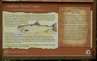
Salmon Trout Camp
"... Several Salmon trout were Seem..."
On the morning of June 18, 1806, George Droulliard and Private Shannon were dispatched from Hungery Creek to the Camas Prairie to secure Nimiipuu (Nez Perce) guides. The remainder of the party traveled west, reaching this small meadow in the evening. The hunters searched for game, but were not able to obtain enough deer and bear to feed the men. They did manage to catch some "generally poor salmon trout" or steelhead trout in the creek.
The party remained here until the morning of June 21, 1806 when they made their way to the quamash flats camp near present-day Weippe.
Capt. William Clark, June 19, 1806
"This evening Several Salmon trout were Seen in the Creek, they hid themselves under the banks of the Creek which jutted over in Such a manner as to secure them from the Stroke of our giggs nets and spears which were made for the purpose of taking those Salmon trout....
...we concluded to delay at this place another day with a view to give time to the two young Chiefs to arrive in case they set out on the 19th inst. as they informed us they Should they will have Sufficient time to join us tomorrow or early the next day. Should we get a guide from this place it will Save us two days march through some of the worst road through those Mountains, crouded with fallin timber mud holes and steep hills &c. ..."
Erected by Forest Service, U.S. Department of Agriculture; National Park Service, U.S. Department of the Interior.
Topics and series. This historical marker is listed in this topic list: Exploration. In addition, it is included in the Lewis & Clark Expedition series list. A significant historical date for this entry is June 19, 1806.
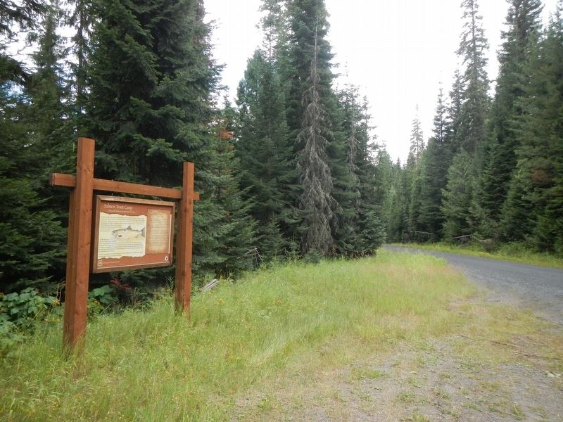
Location. 46° 17.847′ N, 115° 38.809′ W. Marker is near Glenwood, Idaho, in Idaho County. Marker is on Forest Road 500 near unnamed road, on the left when traveling south. Touch for map. Marker is in this post office area: Kooskia ID 83539, United States of America. Touch for directions.
Other nearby markers. At least 8 other markers are within 15 miles of this marker, measured as the crow flies. Small Prairie Camp (approx. 1.2 miles away); The Land Lewis and Clark Walked (approx. 2.7 miles away); Pheasant Camp (approx. 5.4 miles away); Gass Creek (approx. 10.6 miles away); Oro Fino City (approx. 14.4 miles away); Chinese Hanging (approx. 14˝ miles away); Gold Discovered (approx. 14˝ miles away); Pierce Gold Rush (approx. 14.6 miles away). Touch for a list and map of all markers in Glenwood.
More about this marker. This portion of Forest Service Road 500 is not named Lolo Motorway.
Credits. This page was last revised on June 15, 2020. It was originally submitted on October 10, 2019, by Barry Swackhamer of Brentwood, California. This page has been viewed 154 times since then and 10 times this year. Photos: 1, 2. submitted on October 10, 2019, by Barry Swackhamer of Brentwood, California.

