Near Townsend in Broadwater County, Montana — The American West (Mountains)
Yorks Islands
Lewis and Clark in Montana

Photographed By Barry Swackhamer, August 13, 2019
1. Yorks Islands Marker
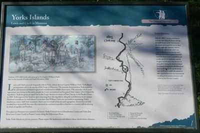
Captions: Left: E.S. Paxson Lewis and Clark at the Three Forks mural at the Montana State Capitol Oil on Canvas 1912. Courtesy of the Montana Historical Society. Photograph by Don Beatty; Right: York Islands section of Clark map of 1805.
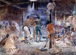
Lewis and Clark's journals frequently refer to York, a black slave to Captain William Clark. York played an important role in the success of the Corps of Discovery. The journals document how York tended to the sick, hunted and fished for food and contributed to wildlife observation. This muscular, black man's appearance was curious to the native people the Corps encountered and he gained their respect which helped the expedition. York was given an equal vote in the Corp's decision to winter at Fort Clatsop on the Pacific Ocean in 1805. York requested his freedom upon retiring from the expedition citing his contributions to its success. However it would not be until almost 5 years later that William Clark was successful in negotiating York's freedom as a slave. Still York remained a black man in a world of slavery and segregation, history has not fully revealed how successfully this black man who traversed the continent was able to function in a society still developing its ideals of equality and freedom.
Two places in Montana are named in his honor. Yorks 8 Islands here in Broadwater County and Yorks Dry River (now Custer Creek) in Prairie County along the Yellowstone River.
Today Yorks Islands are private property. Please respect the landowners and observe these islands from a distance.
Lewis' Journal
(July 24, 1805:) "we saw many beaver and some otter today; the former dam up the small channels of the river between the islands and compell the river in these parts to make other channels; which as soon as it has effected that which was stoped by the beaver becomes dry and is filled up with mud sand gravel and driftwood. the beaver is then compelled to seek another spot for his habitation wher(e) he again erects his dam. thus the river in many places among the clusters of islands is constantly changing the direction of such sluices as the beaver are capable of stoping or of 20 yds in with. this animal is that way I believe to be very instrumental in adding to the number of islands with which we find the river crouded."
Topics and series. This historical marker is listed in these topic lists: African Americans • Exploration. In addition, it is included in the Lewis & Clark Expedition series list. A significant historical date for this entry is July 24, 1805.
Location. 46° 15.965′ N, 111° 29.566′ W. Marker is near Townsend, Montana, in Broadwater County. Marker can be reached from State Highway 287 at milepost 81 near Shelly Road, on the left when traveling north. Touch for map. Marker is in this post office area: Townsend MT 59644, United States of America. Touch for directions.
Other nearby markers. At least 8 other markers are within 7 miles of this marker, measured as the crow flies. Valley Masonic Lodge No. 21 (approx. 3.9 miles away); State Bank of Townsend (approx. 3.9 miles away); Crimson Bluffs (approx. 4.1 miles away); Thar's Gold in Them Thar Hills (approx. 6.7 miles away); Canyon Ferry (approx. 6.7 miles away); Lorentz Homestead (approx. 6.9 miles away); Toston Bridge (approx. 6.9 miles away); Toston Smelter (approx. 6.9 miles away). Touch for a list and map of all markers in Townsend.
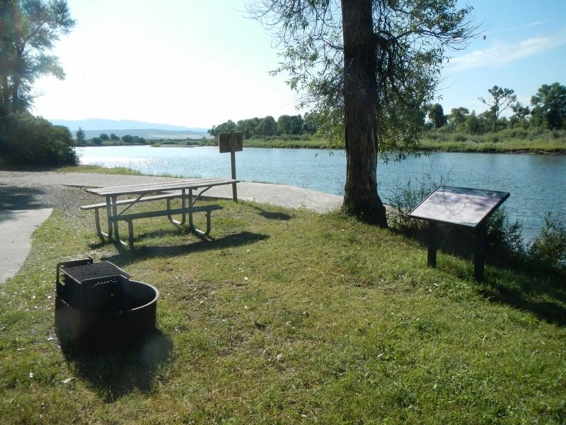
More about this marker. This marker is located in the campground at the end of an unnamed fishing access road off of U.S. Hwy 287, south of Townsend, MT.
Also see . . . York (1770-1832) -- Black Past. . York asked for his freedom after the Expedition ended in 1806 but Clark refused his request. Years afterward York not only remained enslaved, he was no longer Clark’s body servant and was instead hired out for odd jobs, often being taken to various work locations in Kentucky and Tennessee. York married a slave woman after the Expedition returned but lost contact with her in 1811 when she was taken to Mississippi by her new owner, effectively ending the marriage. (Submitted on October 27, 2019, by Barry Swackhamer of Brentwood, California.)
Credits. This page was last revised on November 11, 2019. It was originally submitted on October 27, 2019, by Barry Swackhamer of Brentwood, California. This page has been viewed 250 times since then and 21 times this year. Photos: 1, 2, 3. submitted on October 27, 2019, by Barry Swackhamer of Brentwood, California.

