Owego in Tioga County, New York — The American Northeast (Mid-Atlantic)
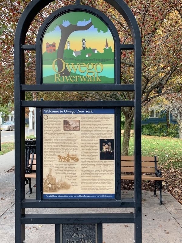
Owego Riverwalk
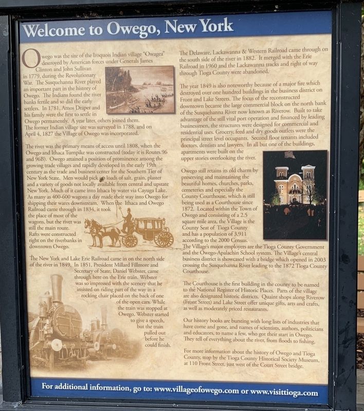
Welcome to Owego, New York
The river was the primary means of access until 1808, when the Owego and Ithaca Turnpike was constructed (today it is Routes 96 and 96B). Owego attained a position of prominence among the growing trade villages and rapidly developed in the early 19th century as the trade and business center for the Southern Tier of New York State. Men would pick up loads of salt, grain, plaster and a variety of goods not locally available from central and upstate New York. Much of it came into Ithaca by water via Cayuga Lake. As many as 400-600 wagons a day made their way into Owego for shipping their wares downstream. When the Ithaca and Owego Railroad came through in 1834, it took the place of most of the wagons, but the river was still the main route. Rafts were constructed right on the riverbanks in downtown Owego.
The New York and Lake Erie Railroad came in on the north side of the river in 1849. In 1851, President Millard Fillmore and Secretary of State, Daniel Webster, came through here on the Erie train. Webster was so impressed with the scenery that he insisted on riding part of the way in a rocking chair placed on the back of one of the open cars. While the train was stopped at Owego, Webster started to give a speech, but the train pulled out before he could finish.
The Delaware, Lackawanna & Western Railroad came through on the south side of the river in 1882. It merged with the Erie Railroad in 1960 and the Lackawanna tracks and right of way through Tioga County were abandoned.
The year 1849 is also noteworthy because of a major fire which destroyed over one hundred buildings in the business district on Front and Lake Streets. The focus of the reconstructed downtown became the large commercial block on the north bank of the Susquehanna River now known as Riverow. Built to take advantage of the still vital port operation and financed by leading businessmen, the structures were designed for commercial and residential uses. Grocery, feed and dry goods outlets were the principal street level occupants. Second floor tenants included doctors, dentists and lawyers. In all but one of the buildings, apartments were built on the upper stories overlooking the river.
Owego still retains its old charm by preserving and maintaining the beautiful homes, churches, parks, cemeteries and especially the County Courthouse, which is still being used as a Courthouse since 1872. Located within the Town of Owego and consisting of a 2.5 square mile area, the Village is the County Seat of Tioga County and has a population of 3,911 according to the 2000 Census. The Village's major employers are the Tioga County Government and the Owego-Apalachin School system. The Village's central business district is showcased with a bridge which opened in 2003 crossing the Susquehanna River leading to the 1872 Tioga County Courthouse.
The Courthouse is the first building in the county to be named to the National Register of Historic Places. Parts of the village are also designated historic districts. Quaint shops along Riverow (Front Street) and Lake Street offer unique gifts, arts and crafts, as well as moderately priced restaurants. Our history books are bursting with long lists of industries that have come and gone, and names of scientists, authors, politicians and educators, to name a few, who got their start in Owego. They tell of everything about the river, from floods to fishing.
For more information about the history of Owego and Tioga County, stop by the Tioga County Historical Society Museum, at 110 Front Street, just west of the Court Street Bridge.
Topics and series. This historical marker is listed in this topic list: Settlements & Settlers. In addition, it is included in the Former U.S. Presidents: #13 Millard Fillmore series list. A significant historical date for this entry is April 4, 1827.
Location. 42° 6.17′ N, 76° 15.581′ W. Marker is in Owego, New York, in Tioga County. Marker is at the intersection of Front Street (New York State Route 17C) and Church Street, on the left when traveling west on Front Street. Touch for map. Marker is in this post office area: Owego NY 13827, United States of America. Touch for directions.
Other nearby markers. At least 8 other markers are within walking distance of this marker. A different marker also named Owego Riverwalk (here, next to this marker); On the Site of Owego (a few steps from this marker); Native American Roots (a few steps from this marker); Ahwaga Hotel (within shouting distance of this marker); Former Site (about 400 feet away, measured in a direct line); 1849 Great Fire (about 600 feet away); Tioga County Memorial (about 600 feet away); Ithaca-Owego RR (about 700 feet away). Touch for a list and map of all markers in Owego.
Credits. This page was last revised on October 30, 2019. It was originally submitted on October 28, 2019, by Steve Stoessel of Niskayuna, New York. This page has been viewed 462 times since then and 80 times this year. Photos: 1, 2. submitted on October 28, 2019, by Steve Stoessel of Niskayuna, New York. • Michael Herrick was the editor who published this page.

