Tulare in Tulare County, California — The American West (Pacific Coastal)
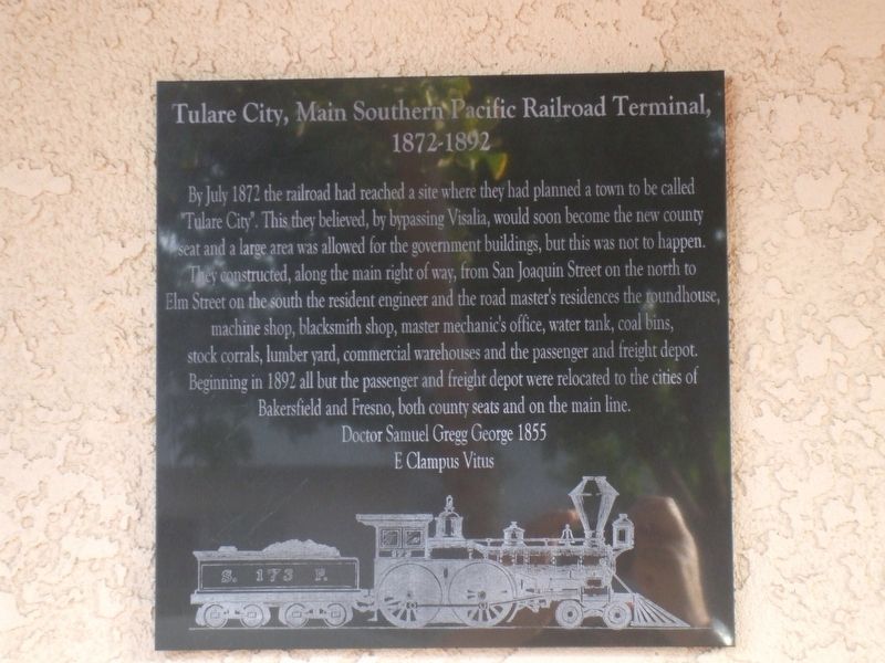
Tulare City, Main Southern Pacific Railroad Terminal, 1872-1892
Inscription.
By July 1872 the railroad had reached a site where they had planned a town to be called
"Tulare City". This they believed, by bypassing Visalia, would soon become the new county seat and a large area was allowed for the government buildings, but this was not to happen.
They constructed, along the main right of way, from San Joaquin street on the north to Elm Street on the south, the resident engineer and the road master's residences, the roundhouse, machine shop, blacksmith shop, master mechanic's office, water tank, coal bins,
stock corrals, lumber yard, commercial warehouses and the passenger and freight depot.
Beginning in 1892 all but the passenger and freight depot were relocated to the cities of Bakersfield and Fresno, both county seats and on the main line.
Erected by Dr. Samuel Gregg George Chapter 1855 of E Clampus Vitus.
Topics and series. This historical marker is listed in this topic list: Railroads & Streetcars. In addition, it is included in the E Clampus Vitus, and the Southern Pacific Railroad series lists. A significant historical month for this entry is July 1872.
Location. 36° 12.408′ N, 119° 20.78′ W. Marker is in Tulare, California, in Tulare County. Marker is on East Kern Avenue west of South K Street, on the right when traveling west. Touch for map. Marker is at or near this postal address: 126 East Kern Avenue, Tulare CA 93274, United States of America. Touch for directions.
Other nearby markers. At least 8 other markers are within 7 miles of this marker, measured as the crow flies. Tuggleville (approx. ¾ mile away); First Airplane in Tulare County (approx. 1½ miles away); Tulare Irrigation District (approx. 2.1 miles away); End of the Trail (approx. 5.3 miles away); World’s First Self-Propelled Combine (approx. 5.4 miles away); Hugh Michael Mooney (1864-1934) (approx. 5.4 miles away); Mooney Grove Park Boy Scout Cabin (approx. 5½ miles away); Rankin Aeronautical Academy (approx. 6.2 miles away). Touch for a list and map of all markers in Tulare.
Credits. This page was last revised on August 5, 2021. It was originally submitted on October 29, 2019, by Frank Gunshow Sanchez of Hollister, California. This page has been viewed 408 times since then and 68 times this year. Photo 1. submitted on October 29, 2019, by Frank Gunshow Sanchez of Hollister, California. • Syd Whittle was the editor who published this page.
Editor’s want-list for this marker. Wide area view of the marker and its surroundings. • Can you help?
