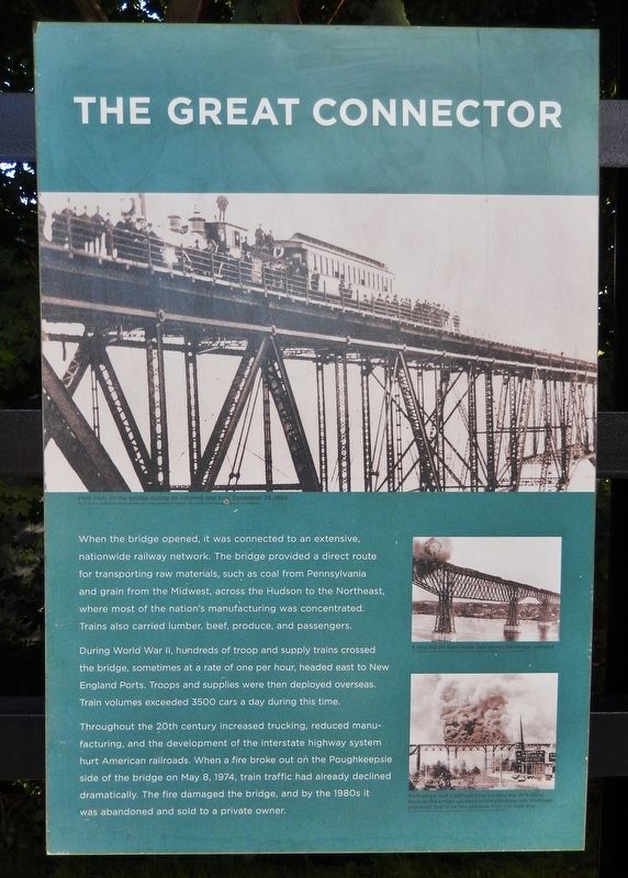
Poughkeepsie in Dutchess County, New York — The American Northeast (Mid-Atlantic)
The Great Connector
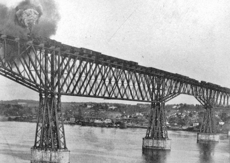
During World War II, hundreds of troop and supply trains crossed the bridge, sometimes at a rate of one per hour, headed east to New England Ports. Troops and supplies were then deployed overseas. Train volumes exceeded 3500 cars a day during this time.
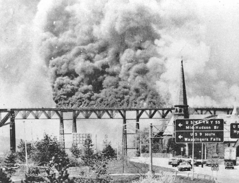
Throughout the 20th century increased trucking, reduced manufacturing, and the development of the interstate highway system hurt American railroads. When a fire broke out on the Poughkeepsie side of the bridge on May 8, 1974, train traffic had already declined dramatically. The fire damaged the bridge, and by the 1980s it was abandoned and sold to a private owner.
Erected by New York State Office of Parks, Recreation and Historic Preservation.
Topics. This historical marker is listed in these topic lists: Bridges & Viaducts • Industry & Commerce • Railroads & Streetcars • War, World I. A significant historical date for this entry is May 8, 1874.
Location. 41° 42.689′ N, 73° 55.628′ W. Marker is in Poughkeepsie, New York, in Dutchess County. Marker can be reached from Parker Avenue (New York State Route 9G) 0.2 miles east of Washington Street (New York State Route 9G), on the left when traveling east. Marker is located near the east end of the bridge trail in Walkway Over the Hudson State Historic Park. Touch for map. Marker is at or near this postal address: 61 Parker Avenue, Poughkeepsie NY 12601, United States of America. Touch for directions.
Other nearby markers. At least 8 other markers are within walking distance of this marker. Back on Track (here, next to this marker); Built to Last (here, next to this marker); The River that Flows Both Ways (here, next to this marker); Walkway Over the Hudson State Historic Park (here, next to this marker); Signal Towers (about 800 feet away, measured in a direct line); Nearly 3000 Men (approx. 0.2 miles away); General Casimir Pulaski (approx. 0.2 miles away); May 8th, 1974 (approx. 0.2 miles away). Touch for a list and map of all markers in Poughkeepsie.
More about this marker. There is an identical marker located 1.5 miles west, at the west end of the bridge trail, in Highland, Ulster County, New York.
Related markers. Click here for a list of markers that are related to this marker. Poughkeepsie-Highland Railroad Bridge
Also see . . .
1. Development of Industryand Transportation in the Hudson River Valley
. The history of the Poughkeepsie Railroad Bridge spans a large part of the economic development of the Hudson River Valley, as it served as a focal point for economic development and strengthened railway-centered commerce by providing an east-west route across the Hudson River. (Submitted on November 19, 2019, by Cosmos Mariner of Cape Canaveral, Florida.)
2. The fire that changed the Hudson Valley: Poughkeepsie railroad bridge blaze. For hours on that day, pieces of burned wooden planks, and metal plates almost a foot long, cascaded off the bridge to property below, including Route 9. Embers from the bridge caused dozens of small fires at nearby homes and yards. (Submitted on November 19, 2019, by Cosmos Mariner of Cape Canaveral, Florida.)
3. Poughkeepsie Railroad Bridge - National Archives. National Register of Historic Places documentation (Submitted on January 29, 2024, by Anton Schwarzmueller of Wilson, New York.)
Credits. This page was last revised on January 29, 2024. It was originally submitted on November 19, 2019, by Cosmos Mariner of Cape Canaveral, Florida. This page has been viewed 223 times since then and 41 times this year. Photos: 1, 2, 3, 4, 5. submitted on November 19, 2019, by Cosmos Mariner of Cape Canaveral, Florida.


