Grays Hill in Beaufort County, South Carolina — The American South (South Atlantic)
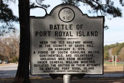
Battle of Port Royal Island
Erected by Beaufort County Historical Society. (Marker Number 7-5.)
Topics and series. This historical marker is listed in this topic list: War, US Revolutionary. In addition, it is included in the South Carolina, Beaufort County Historical Society series list. A significant historical month for this entry is February 1865.
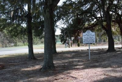
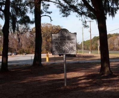
Location. 32° 28.849′ N, 80° 44.387′ W. Marker is in Grays Hill, South Carolina, in Beaufort County. Marker is on Trask Parkway (U.S. 21) near Parker Drive, on the right when traveling south. Marker is within a grove of trees. Touch for map. Marker is in this post office area: Beaufort SC 29906, United States of America. Touch for directions.
Other nearby markers. At least 8 other markers are within 5 miles of this marker, measured as the crow flies. Battery Saxton (approx. 3.6 miles away); Beaufort (approx. 4.2 miles away); Re-interred 19 African-American Civil War Volunteers (approx. 4˝ miles away); Address by President Lincoln (approx. 4˝ miles away); Beaufort National Cemetery (approx. 4˝ miles away); A National Cemetery System (approx. 4˝ miles away); 1st SC Infantry Of African Descent (approx. 4.6 miles away); Beaufort Historic District (approx. 4.8 miles away).

Photographed By Mike Stroud, February 21, 2008
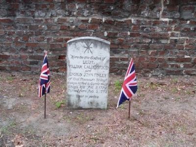
4. Battle of Port Royal Island at St. Helena's Church Cemetery, Beaufort
Here lie the bodies of Lieut. William Calderwood and Ensign John Finley of Col. Prevost's British troops killed in battle near Gray's Hill Feb. 3. 1779 Buried here Feb. 5 1779. Rest in peace
Credits. This page was last revised on June 16, 2016. It was originally submitted on December 27, 2008, by Mike Stroud of Bluffton, South Carolina. This page has been viewed 2,800 times since then and 85 times this year. Photos: 1, 2, 3, 4. submitted on December 27, 2008, by Mike Stroud of Bluffton, South Carolina. • Kevin W. was the editor who published this page.


