Near Blakely in Early County, Georgia — The American South (South Atlantic)
Centerville United Methodist Church
Inscription.
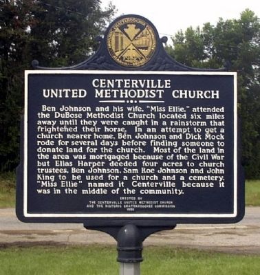
Ben Johnson and his wife, "Miss Ellie," attended the DuBose Methodist Church located six miles away until they were caught in a rainstorm that frightened their horse. In an attempt to get a church nearer home, Ben Johnson and Dick Mock rode for several days before finding someone to donate land for the church. Most of the land in the area was mortgaged because of the Civil War but Elias Harper deeded four acres to church trustees, Ben Johnson, Sam Roe Johnson and John King to be used for a church and a cemetery. "Miss Ellie" named it Centerville because it was in the middle of the community.
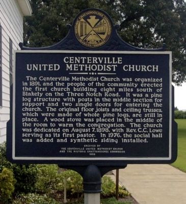
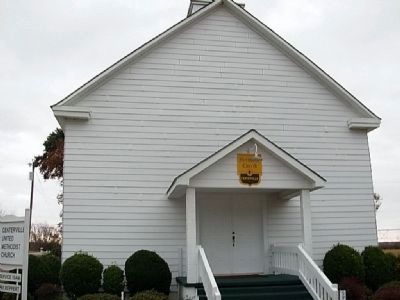
The Centerville Methodist Church was organized in 1891, and the people of the community erected the first church building eight miles south of Blakely on the Three Notch Road. It was a pine log structure with posts in the middle section for support and two single doors for entering the church. The original floor joists and ceiling trusses, which were made of whole pine logs, are still in place. A wood stove was placed in the middle of the room to warm the congregation. The church was dedicated on August 7, 1898, with Rev. C.C. Lowe serving as its first pastor. In 1976, the social hall was added and synthetic siding installed.
Erected 1966 by Centerville United Methodist Church and the Historic Chattahoochee Commission.
Topics. This historical marker is listed in this topic list: Churches & Religion. A significant historical year for this entry is 1891.
Location. 31° 16.464′ N, 84° 53.765′ W. Marker is near Blakely, Georgia, in Early County. Marker is at the intersection of Three Notch Road and Damascus-Hilton Road (County Route 1691), on the left when traveling south on Three Notch Road. Touch for map. Marker is in this post office area: Blakely GA 39823, United States of America. Touch for directions.
Other nearby markers. At least 8 other markers are within 10 miles of this marker, measured as the crow flies. Three Notch Trail (approx. 5.9 miles away); Sowhatchee Elementary School (approx. 6.4 miles away); Early County (approx. 7˝ miles away); Early County Peanut Monument (approx. 7˝ miles away); Confederate Dead (approx. 7˝ miles away); Confederate Flag Pole (approx. 7˝ miles away); Kolomoki Mounds State Park 4 mi. (approx. 9˝ miles away); Hilton School (approx. 9.7 miles away). Touch for a list and map of all markers in Blakely.
Credits. This page was last revised on June 14, 2020. It was originally submitted on December 29, 2008, by David Seibert of Sandy Springs, Georgia. This page has been viewed 1,386 times since then and 61 times this year. Photos: 1, 2. submitted on December 29, 2008, by David Seibert of Sandy Springs, Georgia. 3. submitted on January 26, 2011, by Ken Moser of Cartersville, Georgia. • Bill Pfingsten was the editor who published this page.


