Lanexa in New Kent County, Virginia — The American South (Mid-Atlantic)
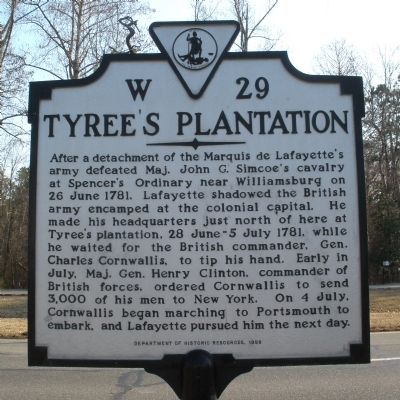
Tyree's Plantation
Erected 1998 by Department of Historic Resources. (Marker Number W-29.)
Topics and series. This historical marker is listed in this topic list: War, US Revolutionary. In addition, it is included in the Virginia Department of Historic Resources (DHR) series list. A significant historical date for this entry is June 26, 1781.
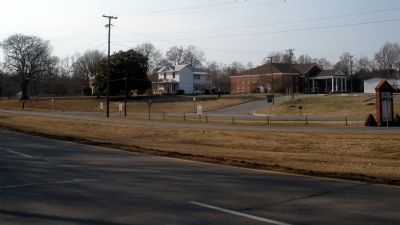
Location. 37° 25.449′ N, 76° 53.686′ W. Marker is in Lanexa, Virginia, in New Kent County. Marker is at the intersection of Pocahontas Trail (U.S. 60) and Liberty Church Road, on the left when traveling east on Pocahontas Trail. Touch for map. Marker is in this post office area: Lanexa VA 23089, United States of America. Touch for directions.
Other nearby markers. At least 8 other markers are within 4 miles of this marker, measured as the crow flies. Cooper's Mill (here, next to this marker); Liberty Baptist Church (a few steps from this marker); Diascund Bridge (about 300 feet away, measured in a direct line); New Kent County (about 300 feet away); Fort James (approx. 1.1 miles away); Chickahominy Water Trail (approx. 2.6 miles away); Old Stage Road (approx. 3.4 miles away); New Kent County / James City County (approx. 3˝ miles away). Touch for a list and map of all markers in Lanexa.
Credits. This page was last revised on June 16, 2016. It was originally submitted on March 7, 2009, by Bernard Fisher of Richmond, Virginia. This page has been viewed 1,856 times since then and 98 times this year. Photos: 1, 2. submitted on March 7, 2009, by Bernard Fisher of Richmond, Virginia.

