Caldwell in Noble County, Ohio — The American Midwest (Great Lakes)
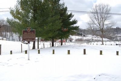
Thorla-McKee Well
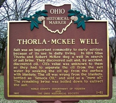
Salt was an important commodity to early settlers because of its use in daily living. In 1814 Silas Thorla and Robert McKee dug a well in search of salt brine. They discovered salt and, by accident, discovered oil. Oil's value was known to them so they had to separate the oil from the salt water by soaking the oil up from the surface with blankets. The oil was wrung from the blankets, bottled as "Seneca Oil," and sold as a "cure all." The remaining brine was boiled down to extract the salt.
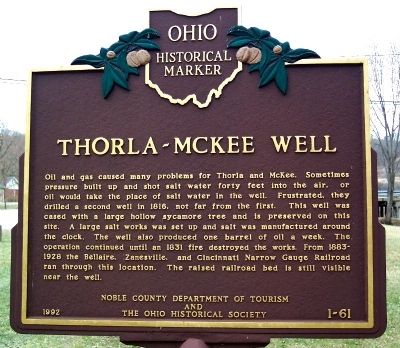
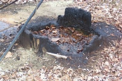
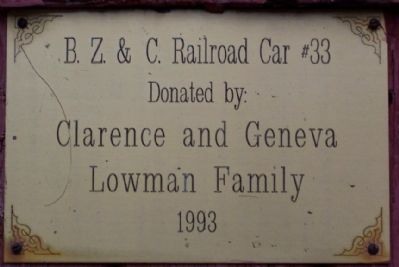
Oil and gas caused many problems for Thorla and McKee. Sometimes pressure built up and shot salt water forty feet into the air, or oil would take the place of salt water in the well. Frustrated, they drilled a second well in 1816, not far from the first. This well was cased with a large hollow sycamore tree and is preserved on this site. A large salt works was set up and salt was manufactured around the clock. The well also produced one barrel of oil a week. The operation continued until in 1831 fire destroyed the works. From 1883-1928 the Bellaire, Zanesville, and Cincinnati Narrow Gauge Railroad ran through this location. The raised railroad bed is still visible near the well.
Erected 1992 by the Noble County Department of Tourism and The Ohio Historical Society. (Marker Number 1-61.)
Topics and series. This historical marker is listed in these topic lists: Industry & Commerce • Railroads & Streetcars • Settlements & Settlers. In addition, it is included in the Ohio Historical Society / The Ohio History Connection series list. A significant historical year for this entry is 1814.
Location. 39° 44.387′ N, 81° 29.906′ W. Marker is in Caldwell, Ohio, in Noble County. Marker is at the intersection of Ohio Route 564 and Ohio Route 78, on the right when traveling north on State Route 564. Marker is in park about 1.25 miles ESE of the Noble County Courthouse. Touch for map. Marker is in this post office area: Caldwell OH 43724, United States of America. Touch for directions.
Other nearby markers. At least 8 other markers are within 3 miles of this marker, measured as the crow flies. Caldwell’s Origins / Ball-Caldwell Homestead (approx. 0.9 miles away); Caldwell (approx. one mile away); Duck Creek Bridge (approx. 1.1 miles away); Noble County Veterans Memorial (approx. 1.1 miles away); Robert T. Secrest (approx. 1.1 miles away); Noble County Historic Jail (approx. 1.1 miles away); VFW Post #4721 Veterans Memorial (approx. 1.3 miles away); John Gray (approx. 2.8 miles away). Touch for a list and map of all markers in Caldwell.
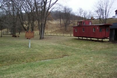
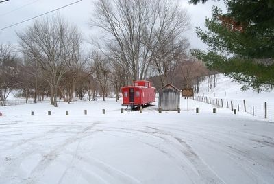
More about this marker. Marker has been moved in front of the caboose.
Credits. This page was last revised on August 8, 2021. It was originally submitted on April 16, 2009, by William Fischer, Jr. of Scranton, Pennsylvania. This page has been viewed 1,228 times since then and 38 times this year. Photos: 1, 2, 3. submitted on April 16, 2009, by William Fischer, Jr. of Scranton, Pennsylvania. 4, 5. submitted on February 11, 2016, by Mike Wintermantel of Pittsburgh, Pennsylvania. 6, 7. submitted on April 16, 2009, by William Fischer, Jr. of Scranton, Pennsylvania. • Christopher Busta-Peck was the editor who published this page.
