Lincoln in Middlesex County, Massachusetts — The American Northeast (New England)
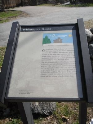
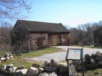
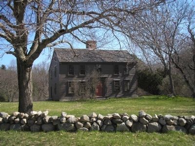
Whittemore House
The New England saltbox style of house was built to withstand and take advantage of natural weather patterns. The slanted roof assisted with snow melting, and deflected the cold north winds. Built to face south, the house took advantage of the sun for both light and heat. The bricks of the central chimney warmed the entire house in the cold winter, and low ceilings helped to retain heat.
Erected by Minute Man National Historic Park.
Topics. This historical marker is listed in these topic lists: Notable Buildings • War, US Revolutionary. A significant historical month for this entry is April 1941.
Location. 42° 26.941′ N, 71° 16.073′ W. Marker is in Lincoln, Massachusetts, in Middlesex County. Marker is on Battle Road, on the left when traveling east. Marker is located in Minute Man National Historic Park, along the Battle Road. Touch for map. Marker is in this post office area: Lincoln MA 01773, United States of America. Touch for directions.
Other nearby markers. At least 8 other markers are within walking distance of this marker. April 19, 1775-The Dawn of Revolution (about 500 feet away, measured in a direct line); This Bluff (approx. 0.2 miles away); Minute Man Visitor Center (approx. 0.2 miles away); Thomas Nelson Jr. House (approx. ¼ mile away); Josiah Nelson House (approx. ¼ mile away); Thorning Boulder (approx. 0.3 miles away); The Bluff & Fiske Hill (approx. half a mile away); Paul Revere Capture Site (approx. 0.6 miles away). Touch for a list and map of all markers in Lincoln.
More about this marker. The background of the marker contains an image of "A cidermill, along with several other farm buildings, [that were located] near the Whittemore House." The top right of the marker features a picture of the saltbox house and its relation to the wind and the sun.
Also see . . .
1. Minute Man National Historical Park. National Park Service website. (Submitted on April 24, 2009, by Bill Coughlin of Woodland Park, New Jersey.)
2. The Battle of Concord. The American Revolutionary War website. (Submitted on May 7, 2009, by Bill Coughlin of Woodland Park, New Jersey.)
Credits. This page was last revised on June 16, 2016. It was originally submitted on April 24, 2009, by Bill Coughlin of Woodland Park, New Jersey. This page has been viewed 1,606 times since then and 28 times this year. Photos: 1, 2, 3, 4. submitted on April 24, 2009, by Bill Coughlin of Woodland Park, New Jersey.


