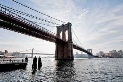
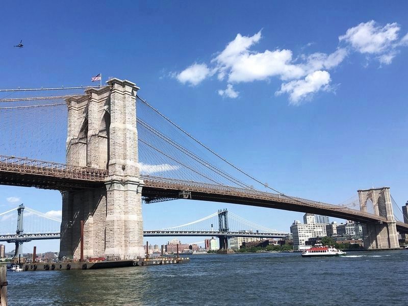
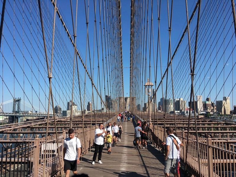
Fulton Ferry District in Brooklyn in Kings County, New York — The American Northeast (Mid-Atlantic)
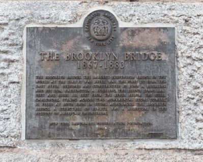
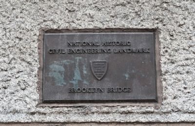
The Brooklyn Bridge
1867 - 1883
Erected 1991 by New York Landmarks Preservation Foundation.
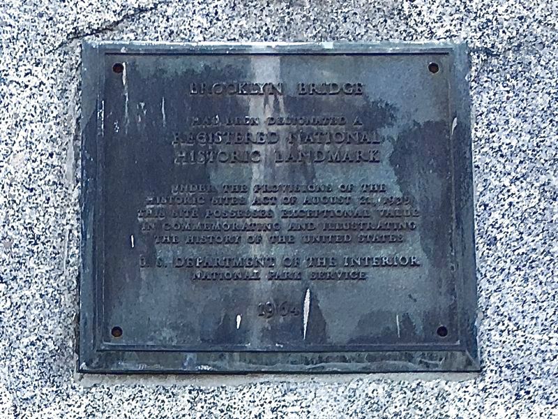
Topics and series. This historical marker is listed in these topic lists: Bridges & Viaducts • Industry & Commerce. In addition, it is included in the ASCE Civil Engineering Landmarks, and the National Historic Landmarks series lists.
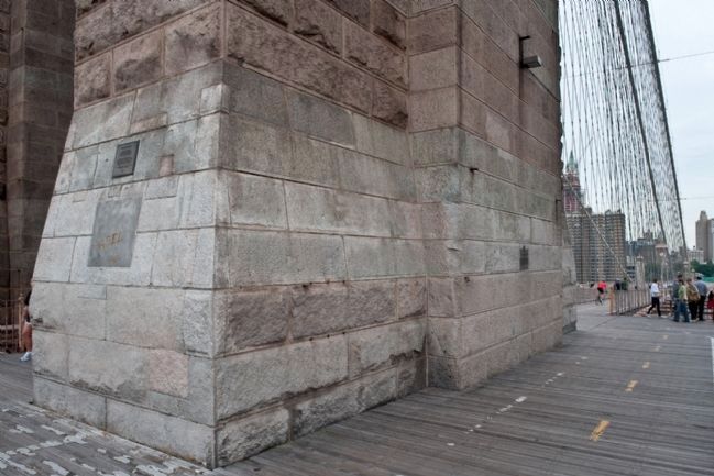
Location. 40° 42.254′ N, 73° 59.667′ W. Marker is in Brooklyn, New York, in Kings County. It is in the Fulton Ferry District. Marker is on Brooklyn Bridge Expressway, on the right when traveling north. There is a twin marker at the Manhatton entrance to bridge. Touch for map. Marker is in this post office area: Brooklyn NY 11201, United States of America. Touch for directions.
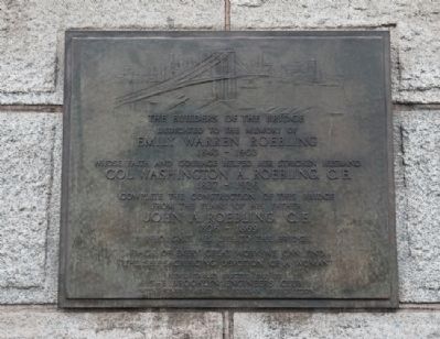
Other nearby markers. At least 8 other markers are within walking distance of this marker. 1883 New York Harbor (a few steps from this marker); Manhattan North of the Bridge to Canal Street (a few steps from this marker); The Builders of the Bridge (a few steps from this marker); Emily Warren Roebling Plaza (within shouting distance of this marker); Nicholas Galanin (about 400 feet away, measured in a direct line); Brookland Ferry Landing (about 400 feet away); Fulton Street Pier (about 400 feet away); History in the Park (about 400 feet away). Touch for a list and map of all markers in Brooklyn.
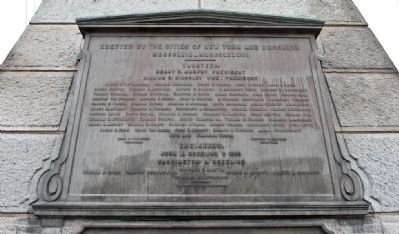
More about this marker. The word “anchorages” is misspelled. On the brass plaque it reads “achorages.” This observation was first reported to HMdb.org by Correspondent Sérgio Ricca of Portugal.
Also see . . .
1. Wikipedia entry for the Brooklyn Bridge. (Submitted on May 22, 2010.)
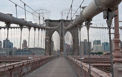
2. Wonders of the World databank entry for the Brooklyn Bridge. "Today, the Brooklyn Bridge is the second busiest bridge in New York City. One hundred forty-four thousand vehicles cross the bridge every day." (Submitted on May 22, 2010.)
3. The Brooklyn Bridge - National Park Service. Download National Register of Historic Places documentation (Submitted on March 3, 2024, by Anton Schwarzmueller of Wilson, New York.)
Credits. This page was last revised on March 3, 2024. It was originally submitted on June 21, 2009, by Ronald Claiborne of College Station, Texas. This page has been viewed 8,383 times since then and 202 times this year. Last updated on March 1, 2019, by Larry Gertner of New York, New York. Photos: 1, 2. submitted on June 21, 2009, by Ronald Claiborne of College Station, Texas. 3. submitted on June 5, 2022, by Craig Baker of Sylmar, California. 4. submitted on June 22, 2009, by Ronald Claiborne of College Station, Texas. 5. submitted on May 24, 2010, by Ronald Claiborne of College Station, Texas. 6, 7. submitted on June 5, 2022, by Craig Baker of Sylmar, California. 8, 9, 10, 11. submitted on June 22, 2009, by Ronald Claiborne of College Station, Texas. 12. submitted on May 24, 2010, by Ronald Claiborne of College Station, Texas. • Bill Pfingsten was the editor who published this page.
