Logan in Rutherford County, North Carolina — The American South (South Atlantic)
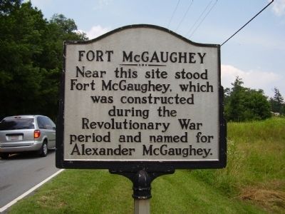
Fort McGaughey
Topics. This historical marker is listed in this topic list: War, US Revolutionary.
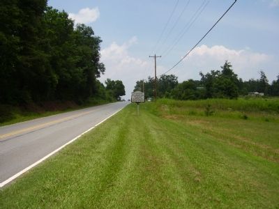
Location. 35° 27.276′ N, 81° 53.216′ W. Marker is in Logan, North Carolina, in Rutherford County. Marker is on State Highway 64. Touch for map. Marker is in this post office area: Rutherfordton NC 28139, United States of America. Touch for directions.
Other nearby markers. At least 8 other markers are within 6 miles of this marker, measured as the crow flies. Rutherford Trace (within shouting distance of this marker); Brittain Church (about 300 feet away, measured in a direct line); Brittain Presbyterian Church, circa 1768 (about 400 feet away); Rev. James Milton Webb (approx. 4.8 miles away); The Mystery Tunnel: Was This Christopher Bechtler's Gold Mine? (approx. 5˝ miles away); On the Trail of Gold (approx. 5˝ miles away); Christopher Bechtler: A Fascination with Gold / Processing Gold at the Bechtler Mint (approx. 5˝ miles away); The North Carolina Gold Rush / Christopher Bechtler Joins the North Carolina Gold Rush (approx. 5˝ miles away). Touch for a list and map of all markers in Logan.
Credits. This page was last revised on June 16, 2016. It was originally submitted on June 28, 2009, by Stanley and Terrie Howard of Greer, South Carolina. This page has been viewed 2,386 times since then and 160 times this year. Photos: 1, 2. submitted on June 28, 2009, by Stanley and Terrie Howard of Greer, South Carolina. • Bill Pfingsten was the editor who published this page.

