Westport in Fairfield County, Connecticut — The American Northeast (New England)
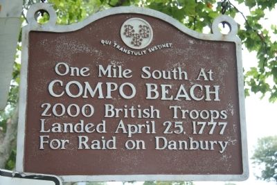
Compo Beach
— Qui Transtulit Sustinet —
Compo Beach
2000 British Troops
Landed April 25, 1777
For Raid on Danbury
Topics. This historical marker is listed in these topic lists: Military • War, US Revolutionary. A significant historical date for this entry is April 25, 1871.
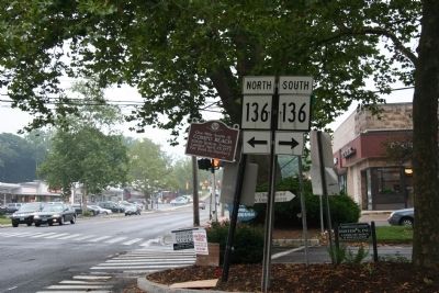
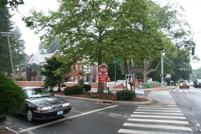
Location. 41° 8.424′ N, 73° 21.197′ W. Marker is in Westport, Connecticut, in Fairfield County. Marker is at the intersection of South Compo Road (Connecticut Route 136) and Post Road East (U.S. 1), on the left when traveling north on South Compo Road. This historical marker is located on a Compos Road traffic island, on the south side of its intersection with Post Road. Touch for map. Marker is in this post office area: Westport CT 06880, United States of America. Touch for directions.
Other nearby markers. At least 8 other markers are within walking distance of this marker. First Engagement (a few steps from this marker); Godillot Carriage House (approx. 0.3 miles away); Jesup-Godillot House (approx. 0.3 miles away); Disbrow Tavern (approx. 0.3 miles away); 22˝ Main Street (approx. 0.4 miles away); Jesup Green (approx. 0.4 miles away); The Town of Westport, Connecticut (approx. half a mile away); The Post Road Bridge (approx. half a mile away). Touch for a list and map of all markers in Westport.
Credits. This page was last revised on June 16, 2016. It was originally submitted on July 29, 2009, by Dale K. Benington of Toledo, Ohio. This page has been viewed 1,597 times since then and 46 times this year. Photos: 1, 2, 3. submitted on July 29, 2009, by Dale K. Benington of Toledo, Ohio. • Bill Pfingsten was the editor who published this page.


