Gardnerville in Douglas County, Nevada — The American Mountains (Southwest)
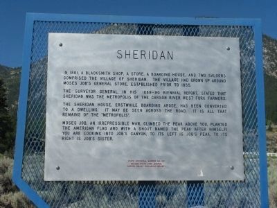
Sheridan
The Surveyor General, in his 1889-90 biennial report, stated that Sheridan was the metropolis of the Carson River West Fork farmers.
The Sheridan House, erstwhile boarding adobe, has been converted to a dwelling. It may be seen across the road. It is all that remains of the “metropolis”.
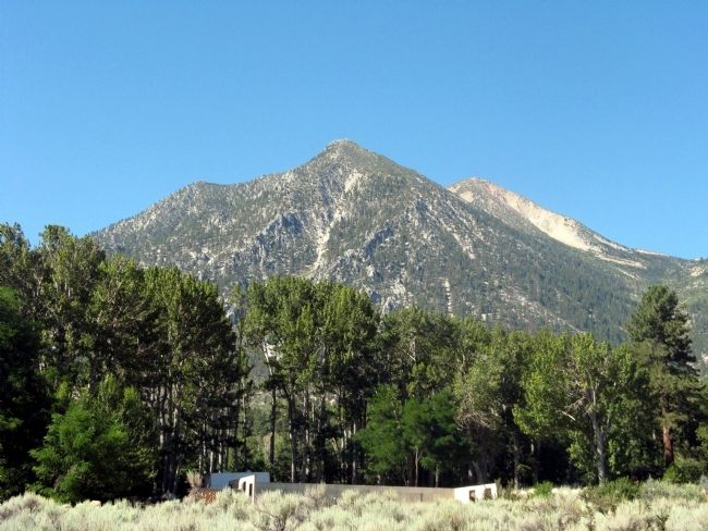
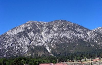
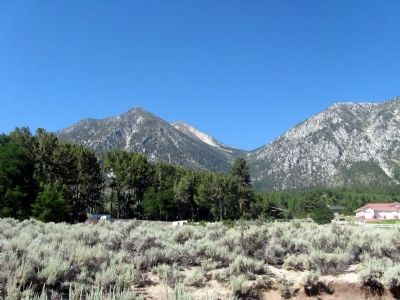
Moses Job, an irrepressible man, climbed the peak above you, planted the American Flag and with a shout named the peak after himself! You are looking into Job’s Canyon . To the left is Job’s Peak. To its right is Job’s Sister.
Nevada State Park System
Carson Valley Historical Society
Erected by Nevada State Park System and the Carson Valley Historical Society. (Marker Number 122.)
Topics. This historical marker is listed in these topic lists: Notable Places • Settlements & Settlers. A significant historical year for this entry is 1861.
Location. 38° 54.07′ N, 119° 49.55′ W. Marker is in Gardnerville, Nevada, in Douglas County. Marker is on Foothill Road (Nevada Route 206) near Canyon Creek Court, on the left. Touch for map. Marker is at or near this postal address: 874 Foothill Road, Gardnerville NV 89460, United States of America. Touch for directions.
Other nearby markers. At least 8 other markers are within 5 miles of this marker, measured as the crow flies. Mottsville (approx. 2.2 miles away); Hiram Mott (approx. 2.2 miles away); Carson Trail - Upland Travel (approx. 2.3 miles away); Luther Canyon (approx. 2.3 miles away); Brockliss Road (approx. 2.6 miles away); Kingsbury Grade (approx. 4˝ miles away); The Cary Mill (approx. 4˝ miles away); Garden Cemetery (approx. 4.8 miles away). Touch for a list and map of all markers in Gardnerville.
Regarding Sheridan. The Marker text states that the Sheridan House stands across the street. At this time of year the trees are filled out and the house is obscured by these trees. A view of the house in winter can be seen at:
http://www.nevada-landmarks.com/do/shl122.htm
Credits. This page was last revised on June 16, 2016. It was originally submitted on August 1, 2009, by Syd Whittle of Mesa, Arizona. This page has been viewed 1,129 times since then and 28 times this year. Photos: 1, 2, 3, 4, 5. submitted on August 1, 2009, by Syd Whittle of Mesa, Arizona.
Editor’s want-list for this marker. Photo of the Sheridan House. • Can you help?


