Sunol in Alameda County, California — The American West (Pacific Coastal)
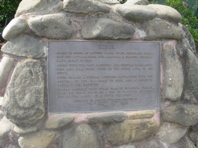
Sunol
Along with the vast ranching and fertile farmlands, coal and gold were found in the Sunol area in the 1870’s.
Sunol became a typical western cattletown with the arrival of the railroad in 1869, and a favorite hangout for banditos. It was rumored that when Joaquin Murrieta stayed here his horse stood on a bed of charcoal keeping the hooves warm for a quick get-away.
Erected 1984 by Joaquin Murrieta Chapter 13, E Clampus Vitus.
Topics and series. This historical marker is listed in these topic lists: Animals • Notable Places. In addition, it is included in the E Clampus Vitus series list. A significant historical year for this entry is 1840.
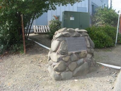
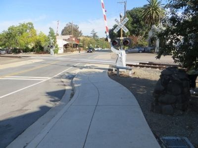
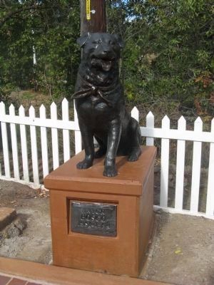
Location. 37° 35.637′ N, 121° 53.244′ W. Marker is in Sunol, California, in Alameda County. Marker is on Main Street, on the right when traveling east. Marker is located at the railroad tracks across from the Post Office. The Mayor Bosco statue is located next to the Post Office at the town clock. Touch for map. Marker is at or near this postal address: 11930 Main Street, Sunol CA 94586, United States of America. Touch for directions.
Other nearby markers. At least 8 other markers are within 5 miles of this marker, measured as the crow flies. Niles Canyon Railway (about 400 feet away, measured in a direct line); Alameda Creek Water System (approx. 0.6 miles away); Once a Hilltop Castle (approx. 2.3 miles away); Pleasanton Veterans Memorial (approx. 3.7 miles away); Pleasanton Pioneer Cemetery (approx. 3.7 miles away); Paths Through a Varied Landscape (approx. 4.4 miles away); Gay 90's Pizzeria (approx. 4˝ miles away); De Anza Expedition 1775 - 1776 (approx. 4˝ miles away). Touch for a list and map of all markers in Sunol.
Also see . . .
1. The history of Sunol. (Submitted on November 14, 2009, by Syd Whittle of Mesa, Arizona.)
2. Sunol – Gateway to Niles Canyon. A short history of Sunol with both vintage and current photos. (Submitted on November 14, 2009, by Syd Whittle of Mesa, Arizona.)
3. Bosco – The Town Mayor. Bosco beat out two human candidates in 1981 and served for several years as the “Honorary Mayor” (Submitted on November 14, 2009.)
Additional keywords. California Mexican Land Grants
Credits. This page was last revised on June 16, 2016. It was originally submitted on November 14, 2009, by Syd Whittle of Mesa, Arizona. This page has been viewed 1,937 times since then and 36 times this year. Photos: 1, 2. submitted on November 14, 2009, by Syd Whittle of Mesa, Arizona. 3. submitted on October 26, 2013, by Bill Kirchner of Tucson, Arizona. 4, 5. submitted on November 14, 2009, by Syd Whittle of Mesa, Arizona.
