Harpers Ferry in Jefferson County, West Virginia — The American South (Appalachia)
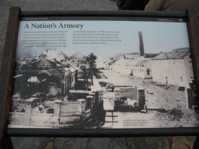
A Nation's Armory
Harpers Ferry National Historical Park
— National Park Service, U.S. Department of the Interior —
Erected 2009 by National Park Service, U.S. Department of the Interior.
Topics. This historical marker is listed in these topic lists: Industry & Commerce • Military. A significant historical year for this entry is 1861.
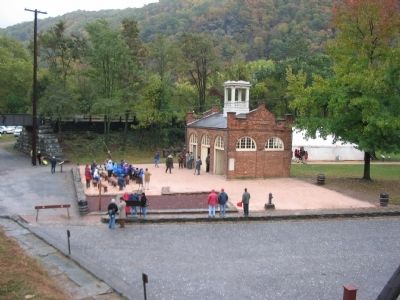
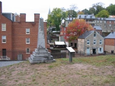
Location. 39° 19.394′ N, 77° 43.773′ W. Marker is in Harpers Ferry, West Virginia, in Jefferson County. Marker is at the intersection of Hog Alley and Potomac Street, on the right when traveling north on Hog Alley. Located next to "John Brown's Fort" in Lower Town Harpers Ferry. Touch for map. Marker is in this post office area: Harpers Ferry WV 25425, United States of America. Touch for directions.
Other nearby markers. At least 8 other markers are within walking distance of this marker. Federal Armory (a few steps from this marker); "The War That Ended Slavery" (a few steps from this marker); John Brown (a few steps from this marker); Weapons Under Fire (a few steps from this marker); John Brown Fort (a few steps from this marker); John Brown's Last Stand (within shouting distance of this marker); John Brown Monument (within shouting distance of this marker); Short-lived Sanctuary (within shouting distance of this marker). Touch for a list and map of all markers in Harpers Ferry.
More about this marker. The background of the marker is a photo of the old Armory, with the caption John Brown's Fort in its original location on the armory grounds during the Civil War.
Credits. This page was last revised on June 12, 2020. It was originally submitted on November 28, 2009, by Craig Swain of Leesburg, Virginia. This page has been viewed 1,386 times since then and 29 times this year. Photos: 1, 2, 3. submitted on November 28, 2009, by Craig Swain of Leesburg, Virginia.


