Round Rock in Williamson County, Texas — The American South (West South Central)
The Round Rock
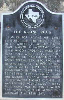
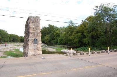
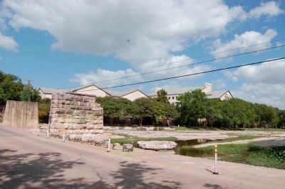
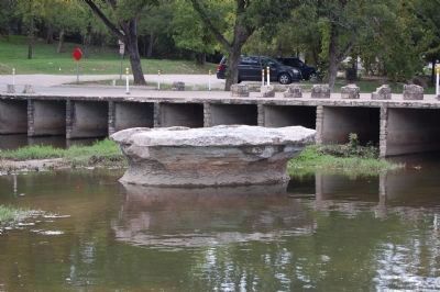
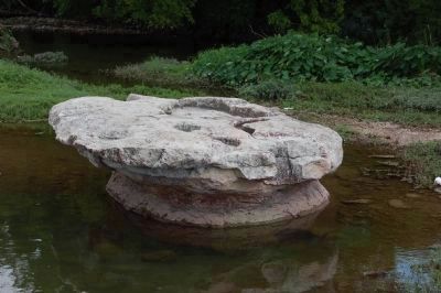
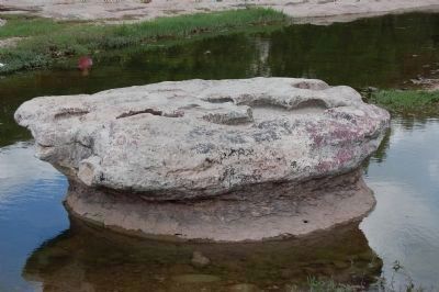
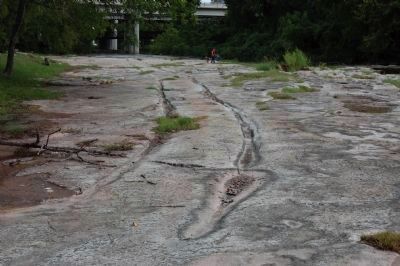
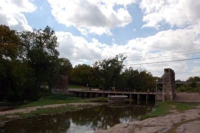
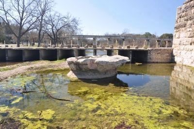
A guide for Indians and early settlers, this table-shaped stone in the middle of Brushy Creek once marked an important low-water wagon crossing. Hundered-year-old wheel ruts are still visible in the creek bottom. The rocky stream bed also provided building stone for pioneer homes. “Brushy Creek” post office was established in 1851 to serve the settlement that grew up near this natural ford. At the urging of postmaster Thomas C. Oatts, it was renamed “Round Rock” in 1854. This name was retained when the town relocated along the railroad (1 mi. E) in 1877.
Erected 1975 by Texas Historical Commission. (Marker Number 9330.)
Topics. This historical marker is listed in this topic list: Landmarks. A significant historical year for this entry is 1851.
Location. 30° 30.785′ N, 97° 41.368′ W. Marker is in Round Rock, Texas, in Williamson County. Marker is on Chisholm Trail Road (County Road 173). Touch for map. Marker is in this post office area: Round Rock TX 78664, United States of America. Touch for directions.
Other nearby markers. At least 8 other markers are within walking distance of this marker. William M. Owen House Complex (about 700 feet away, measured in a direct line); Barker House (approx. 0.3 miles away); Education in Round Rock (approx. half a mile away); Round Rock Cemetery (approx. half a mile away); Slave Burial Ground in Old Round Rock Cemetery (approx. half a mile away); The Pioneer Builders (approx. half a mile away); Sam Bass' Death Site (approx. 0.7 miles away); Old Broom Factory Building (approx. 0.7 miles away). Touch for a list and map of all markers in Round Rock.
Photographed By Sharon N. Goodman, February 16, 2013
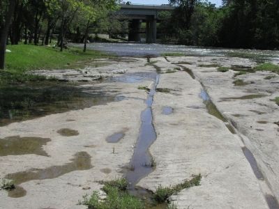
4. The Round Rock
The water in Brushy Creek is extremely low and most of the Round Rock is now showing. You can walk out to it on the left side without getting your feet wet. The Round Rock Marker is located on the bridge in the background.The ruts from the Chisholm Trail are to the right of the Round Rock in this photo, although not visible in photo.
Credits. This page was last revised on November 29, 2020. It was originally submitted on November 28, 2009, by Keith Peterson of Cedar Park, Texas. This page has been viewed 3,920 times since then and 726 times this year. Photos: 1. submitted on November 28, 2009, by Keith Peterson of Cedar Park, Texas. 2, 3. submitted on October 6, 2013, by Keith Peterson of Cedar Park, Texas. 4. submitted on February 20, 2013, by Sharon N. Goodman of Round Rock, Texas. 5, 6, 7, 8. submitted on October 6, 2013, by Keith Peterson of Cedar Park, Texas. 9. submitted on November 28, 2009, by Keith Peterson of Cedar Park, Texas. 10. submitted on October 6, 2013, by Keith Peterson of Cedar Park, Texas. • Kevin W. was the editor who published this page.
