Near Hutto in Williamson County, Texas — The American South (West South Central)
Norman's Crossing
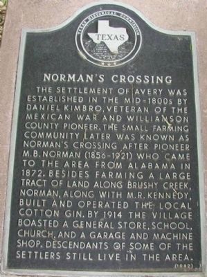
The settlement of Avery was established in the mid-1800s by Daniel Kimbro, veteran of the Mexican War and Williamson County pioneer. The small farming community later was known as Norman’s Crossing after pioneer M.B. Norman (1856-1921) who came to the area from Alabama in 1872. Besides farming a large tract of land along Brushy Creek, Norman, along with M.R. Kennedy, built and operated the local cotton gin. By 1914 the village boasted a general store, school, church, and a garage and machine shop. Descendants of some of the settlers still live in the area.
Erected 1982 by Texas Historical Commission. (Marker Number 9312.)
Topics. This historical marker is listed in these topic lists: Settlements & Settlers • War, Mexican-American. A significant historical year for this entry is 1872.
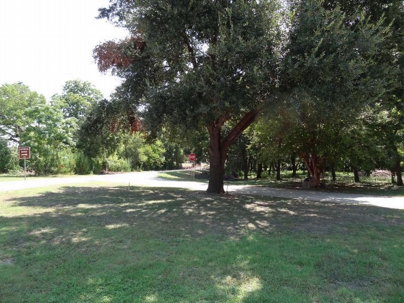
Location. 30° 29.696′ N, 97° 29.866′ W. Marker is near Hutto, Texas, in Williamson County. Marker is at the intersection of FM-1660 and CR-129, on the right when traveling east on FM-1660. Touch for map. Marker is in this post office area: Hutto TX 78634, United States of America. Touch for directions.
Other nearby markers. At least 8 other markers are within 5 miles of this marker, measured as the crow flies. M.B. Norman House (about 700 feet away, measured in a direct line); Kimbro Family Cemetery (approx. ¼ mile away); Saul Cemetery (approx. 0.9 miles away); Shiloh-McCutcheon Cemetery (approx. 2.3 miles away); James O. Rice (approx. 2½ miles away); Hutto Cemetery (approx. 3.4 miles away); Hutto Lutheran Cemetery (approx. 3.9 miles away); Hutto (approx. 4½ miles away). Touch for a list and map of all markers in Hutto.
Credits. This page was last revised on November 29, 2020. It was originally submitted on December 13, 2009, by Keith Peterson of Cedar Park, Texas. This page has been viewed 1,679 times since then and 105 times this year. Photos: 1. submitted on December 13, 2009, by Keith Peterson of Cedar Park, Texas. 2. submitted on August 31, 2019, by Keith Peterson of Cedar Park, Texas. • Bill Pfingsten was the editor who published this page.

