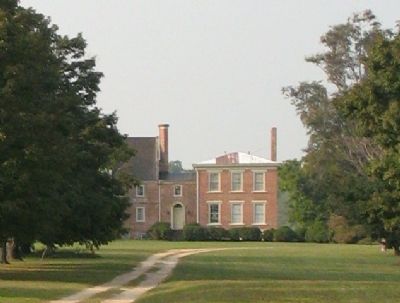
Near Surry in Surry County, Virginia — The American South (Mid-Atlantic)
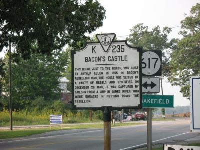
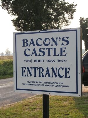
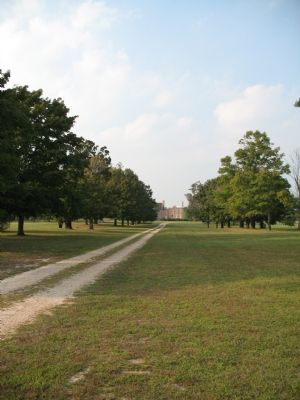
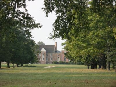
Baconís Castle
Erected 1961. (Marker Number K-235.)
Topics and series. This historical marker is listed in these topic lists: Forts and Castles • Notable Buildings. In addition, it is included in the National Historic Landmarks, and the Virginia Department of Historic Resources (DHR) series lists. A significant historical month for this entry is December 1794.
Location. 37° 6.283′ N, 76° 43.775′ W. Marker is near Surry, Virginia, in Surry County. Marker is on Colonial Trail East (Virginia Route 10) south of Bacons Castle Trail (County Route 617), on the right when traveling north. Touch for map. Marker is in this post office area: Surry VA 23883, United States of America. Touch for directions.
Other nearby markers. At least 8 other markers are within 3 miles of this marker, measured as the crow flies. Hog Island (about 300 feet away, measured in a direct line); Lower Surry Church (approx. 0.4 miles away); A Final Resting Place for Six Unknown Colonists (approx. half a mile away); Lawneís Creek Church (approx. 0.9 miles away); Quiyoughcohannock Indians (approx. one mile away); Pooleís Funeral Home (approx. 1.8 miles away); Surry County / Isle of Wight County (approx. 2.9 miles away); Working the Land (approx. 2.9 miles away). Touch for a list and map of all markers in Surry.
Also see . . . Preservation Virginia web site for Bacon's Castle. (Submitted on September 30, 2014, by Kevin W. of Stafford, Virginia.)
Credits. This page was last revised on June 16, 2016. It was originally submitted on September 24, 2007, by Laura Troy of Burke, Virginia. This page has been viewed 1,968 times since then and 27 times this year. Photos: 1, 2, 3, 4, 5. submitted on September 24, 2007, by Laura Troy of Burke, Virginia. • J. J. Prats was the editor who published this page.
