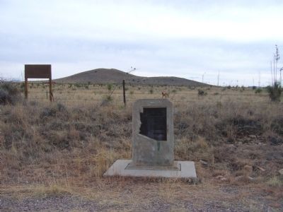
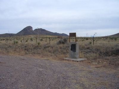
Near Sonoita in Santa Cruz County, Arizona — The American Mountains (Southwest)
San Ignacia del Babocomari
Mexican Land Grant
Erected 1964 by Arizona Development Board & Arizona Highway Department.
Topics. This historical marker is listed in this topic list: Settlements & Settlers. A significant historical month for this entry is December 1829.
Location. 31° 43.426′ N, 110° 31.219′ W. Marker is near Sonoita, Arizona, in Santa Cruz County. Marker is on Arizona Route 82 at milepost 41, on the right when traveling east. Touch for map. Marker is in this post office area: Sonoita AZ 85637, United States of America. Touch for directions.
Other nearby markers. At least 8 other markers are within 15 miles of this marker, measured as the crow flies. Historic Empire Ranch (approx. 8.3 miles away); Hired Man’s House – Who Lived Here?/Historic Preservation of the Hired Man’s House (approx. 8.3 miles away); Home for Ranch Families (approx. 8.4 miles away); Sonoita Quarter Horse Show and Races (approx. 8.6 miles away); Camp Crittenden (approx. 11.3 miles away); Fort Huachuca (approx. 13.1 miles away); Buffalo Soldier Legacy Plaza (approx. 15 miles away); Apache Scout Memorial (approx. 15.1 miles away). Touch for a list and map of all markers in Sonoita.
Credits. This page was last revised on June 16, 2016. It was originally submitted on February 2, 2010, by Bill Kirchner of Tucson, Arizona. This page has been viewed 1,165 times since then and 38 times this year. Photos: 1, 2, 3. submitted on February 2, 2010, by Bill Kirchner of Tucson, Arizona. • Syd Whittle was the editor who published this page.


