South River in Anne Arundel County, Maryland — The American Northeast (Mid-Atlantic)
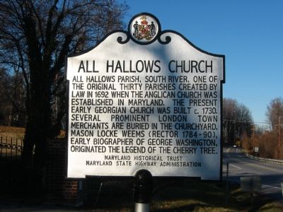
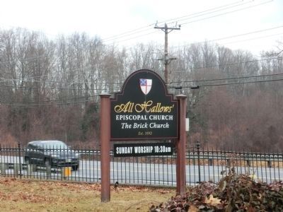
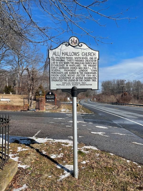
All Hallows Church
All Hallows Parish, South River, one of the original thirty parishes created by law in 1692 when the Anglican Church was established in Maryland. The present Georgian church was built c. 1730. Several prominent London Town merchants are buried in the churchyard. Mason Locke Weems (Rector 1784-90), early biographer of George Washington, originated the legend of the cherry tree.
Erected by Maryland Historical Trust, Maryland State Highway Administration.
Topics and series. This historical marker is listed in this topic list: Churches & Religion. In addition, it is included in the Maryland Historical Trust series list. A significant historical year for this entry is 1692.
Location. 38° 54.63′ N, 76° 34.819′ W. Marker is in South River, Maryland, in Anne Arundel County. Marker is at the intersection of Solomon’s Island Road (Maryland Route 2) and Brick Church Road, on the right on Solomon’s Island Road. Touch for map. Marker is at or near this postal address: 3604 Solomons Island Rd, Harwood MD 20776, United States of America. Touch for directions.
Other nearby markers. At least 8 other markers are within 3 miles of this marker, measured as the crow flies. The Old South River Club (approx. 0.9 miles away); Prized Property (approx. 2.2 miles away); Java Plantation Life (approx. 2.2 miles away); a different marker also named Java Plantation Life (approx. 2.2 miles away); a different marker also named Java Plantation Life (approx. 2.2 miles away); a different marker also named Java Plantation Life (approx. 2.2 miles away); a different marker also named Java Plantation Life (approx. 2.2 miles away); “Larkins Hills” (approx. 2.3 miles away).
Also see . . . All Hallows Church (South River, Maryland). Wikipedia entry (Submitted on September 14, 2023, by Larry Gertner of New York, New York.)
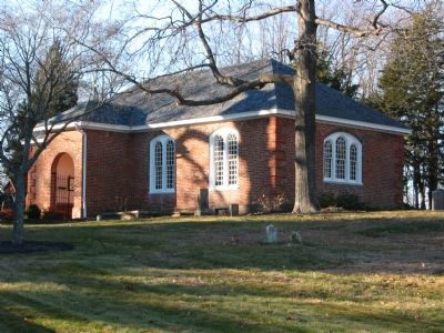
Photographed By F. Robby, December 30, 2003
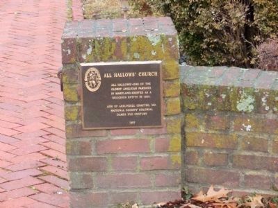
2. All Hallows Church
National Register of Historic Places Nomination Form
NPGallery Digital Asset Management System website entry
Click for more information.
NPGallery Digital Asset Management System website entry
Click for more information.
Credits. This page was last revised on September 14, 2023. It was originally submitted on October 13, 2007, by F. Robby of Baltimore, Maryland. This page has been viewed 6,335 times since then and 159 times this year. Photos: 1, 2. submitted on October 13, 2007, by F. Robby of Baltimore, Maryland. 3, 4, 5, 6. submitted on February 17, 2015, by Don Morfe of Baltimore, Maryland. 7. submitted on April 19, 2022, by Lora Wilson of Paw Paw, West Virginia. • J. J. Prats was the editor who published this page.
