Goochland in Goochland County, Virginia — The American South (Mid-Atlantic)
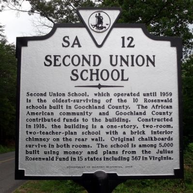
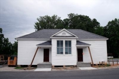
Second Union School
Erected 2007 by Department of Historic Resources. (Marker Number SA-12.)
Topics and series. This historical marker is listed in these topic lists: African Americans • Education. In addition, it is included in the Rosenwald Schools, and the Virginia Department of Historic Resources (DHR) series lists. A significant historical year for this entry is 1959.
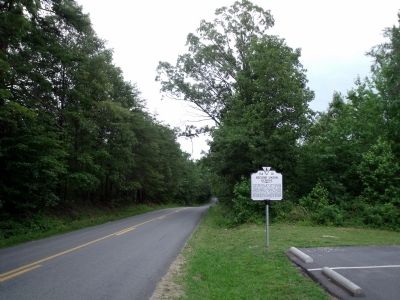
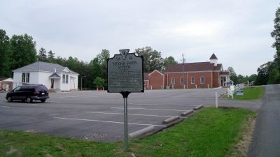
Location. 37° 45.918′ N, 78° 3.155′ W. Marker is in Goochland, Virginia, in Goochland County. Marker is on Hadensville-Fife Road (Virginia Route 606) north of Chimney Springs Drive, on the right when traveling north. Touch for map. Marker is at or near this postal address: 2843 Hadensville-Fife Road, Goochland VA 23063, United States of America. Touch for directions.
Other nearby markers. At least 8 other markers are within 8 miles of this marker, measured as the crow flies. George's Tavern Crossroads (approx. 2.1 miles away); Elk Hill (approx. 2.6 miles away); Campaign of 1781 (approx. 7 miles away); Point of Fork (approx. 7 miles away); Rassawek (approx. 7 miles away); Byrd Presbyterian Church (approx. 7.1 miles away); Dungeness (approx. 7.1 miles away); Bolling Island (approx. 7.1 miles away). Touch for a list and map of all markers in Goochland.
Also see . . .
1. Julius Rosenwald (1862-1932). Sears Archive (Submitted on June 7, 2010.)
2. Second Union School. National Register of Historic Places (Submitted on November 5, 2021.)
Credits. This page was last revised on November 5, 2021. It was originally submitted on June 6, 2010, by Bernard Fisher of Richmond, Virginia. This page has been viewed 803 times since then and 27 times this year. Photos: 1, 2, 3, 4. submitted on June 6, 2010, by Bernard Fisher of Richmond, Virginia.


