Pelham Manor in Westchester County, New York — The American Northeast (Mid-Atlantic)
Battle of Pelham
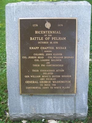
1776 1976
of the
Battle of Pelham
October 18, 1776
Knapp Chapter, NSDAR
honors
Colonel John Glover
Col. Joseph Read Col. William Shepard
Col. Loammi Baldwin
and
their 750 Continentals
Their courageous action
delayed
Gen. William Howe’s British invasion
and enabled
General George Washington
to move the
Continental Army to White Plains
Erected 1976 by National Society Daughters of the American Revolution, Knapp Chapter.
Topics and series. This historical marker is listed in this topic list: War, US Revolutionary. In addition, it is included in the Daughters of the American Revolution series list. A significant historical date for this entry is October 18, 1776.
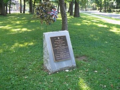
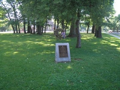
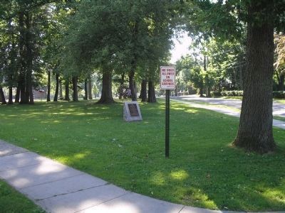
Location. 40° 53.383′ N, 73° 48.638′ W. Marker is in Pelham Manor, New York, in Westchester County. Marker is at the intersection of Washington Avenue and Peace Street, on the left when traveling east on Washington Avenue. Marker is on the grounds of Prospect Hill School. Touch for map. Marker is in this post office area: Pelham NY 10803, United States of America. Touch for directions.
Other nearby markers. At least 8 other markers are within walking distance of this marker. This Mile Stone (approx. 0.4 miles away); “Pelham Dale” (approx. 0.8 miles away); Patriots of the American Revolution (approx. 0.8 miles away); In Memory of the Underhills (approx. 0.8 miles away); St. Paul’s Church, Eastchester (approx. 0.8 miles away); Saint Paul’s Protestant Episcopal Church (approx. 0.8 miles away); Colonel Philip Pell (approx. 0.9 miles away); The Old Boston Road (approx. 0.9 miles away). Touch for a list and map of all markers in Pelham Manor.
Also see . . .
1. Evidence the Battle of Pelham May Have Begun at Glover's Rock After All. Historic Pelham website entry (Submitted on June 19, 2010, by Bill Coughlin of Woodland Park, New Jersey.)
2. The Battle of Pell’s Point. The American Revolutionary War website. (Submitted on June 19, 2010, by Bill Coughlin of Woodland Park, New Jersey.)
Credits. This page was last revised on February 25, 2021. It was originally submitted on June 19, 2010, by Bill Coughlin of Woodland Park, New Jersey. This page has been viewed 1,413 times since then and 19 times this year. Last updated on February 22, 2021, by Bradley Owen of Morgantown, West Virginia. Photos: 1, 2, 3, 4. submitted on June 19, 2010, by Bill Coughlin of Woodland Park, New Jersey. • Bill Pfingsten was the editor who published this page.


