Greensboro in Guilford County, North Carolina — The American South (South Atlantic)
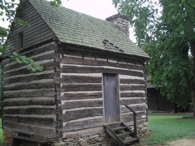
Hoskins Farmstead
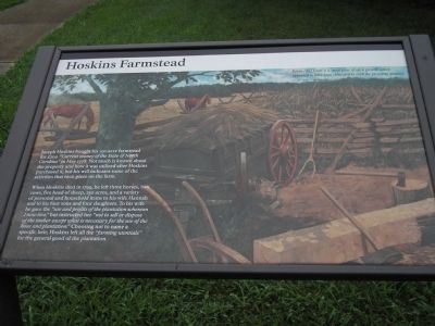
When Hoskins died in 1799, he left three horses, two cows, five head of sheep, 250 acres, and a variety of personal and household items to his wife Hannah and to his four sons and four daughters. To his wife he gave the “use and profits of the plantation whereon I now live,” but instructed her “not to sell or dispose of the timber except what is necessary for the use of the hous and plantation.” Choosing not to name a specific heir, Hoskins left all the “farming utentials” for the general good of the plantation.
Below [the] forest is a small piece of open ground, which appeared to have been cultivated in corn the preceding summer.
Lt. Col. Henry “Lighthorse Harry” Lee
Erected by Tannenbaum Historic Park.
Topics. This historical marker is listed in this topic list: Settlements & Settlers. A significant historical month for this entry is May 1778.
Location. 36° 7.783′ N, 79° 51.138′ W. Marker is in Greensboro, North Carolina, in Guilford County. Marker is at the intersection of New Garden Road and Battleground Avenue (U.S. 220), on the right when traveling east on New Garden Road. Marker is in Tannenbaum Historic Park. Touch for map. Marker is at or near this postal address: 2200 New Garden Road, Greensboro NC 27410, United States of America. Touch for directions.
Other nearby markers. At least 8 other markers are within walking distance of this marker. British Attack (a few steps from this marker); Tannenbaum Park (within shouting distance of this marker); Tannenbaum Historic Park (within shouting distance of this marker); Guilford Courthouse (about 400 feet away, measured in a direct line); Joseph G. Cannon (about 600 feet away); Crown Forces at the Battle of Guilford Courthouse (approx. 0.2 miles away); Capt. James Tate (approx. ¼ mile away); Col. Arthur Forbis (approx. ¼ mile away). Touch for a list and map of all markers in Greensboro.
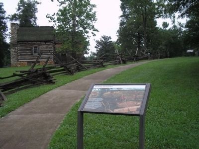
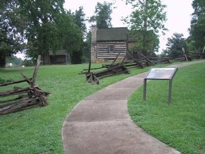
More about this marker. The background of the marker contains a picture of the Hoskins Farmstead showing livestock, farming equipment and a corn field.
Also see . . . The Battle of Guilford Courthouse. Account of the battle from the American Revolution War website. (Submitted on August 24, 2010, by Bill Coughlin of Woodland Park, New Jersey.)
Credits. This page was last revised on March 24, 2021. It was originally submitted on August 24, 2010, by Bill Coughlin of Woodland Park, New Jersey. This page has been viewed 1,038 times since then and 36 times this year. Photos: 1, 2, 3, 4, 5. submitted on August 24, 2010, by Bill Coughlin of Woodland Park, New Jersey.
