Near Spring Green in Iowa County, Wisconsin — The American Midwest (Great Lakes)
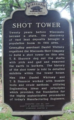
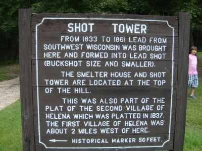
Shot Tower
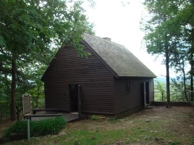
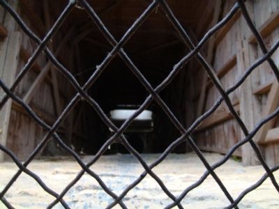
Green Bay merchant Daniel Whitney organized the Wisconsin Shot Company to build a shot tower on this site. T.B. Shaunce dug out the shafts with pick and gad and removed the earth in buckets. The history of the shot tower is told in detailed exhibits within the tower house.
Men like Daniel Whitney and T.B. Shaunce worked with humble tools and crude methods, utilizing Engineering ideas and principles which provided the highly sophisticated procedures of today's Manufacturing Engineers.
Erected 1977 by the Society of Manufacturing Engineers, Milwaukee Chapter 4. (Marker Number 238.)
Topics and series. This historical marker is listed in this topic list: Industry & Commerce. In addition, it is included in the Wisconsin Historical Society series list.
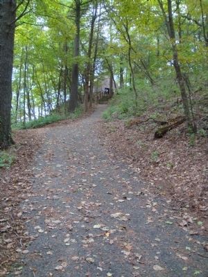
Location. 43° 9.005′ N, 90° 2.71′ W. Marker is near Spring Green, Wisconsin, in Iowa County. Marker can be reached from County Highway C, 2 miles west of U.S. 14, on the right when traveling west. The marker is accessible via a paved but somewhat steep path starting at the parking lot in the Tower Hill Shelter area in Tower Hill State Park. A vehicle admission sticker is required to stop in the park. Theoretically, one could avoid the fee by parking on the highway and walking into the park; aside from the safety issues, however, it is worth the price of admission to visit the park. Touch for map. Marker is in this post office area: Spring Green WI 53588, United States of America. Touch for directions.
Other nearby markers. At least 8 other markers are within 3 miles of this marker, measured as the crow flies. Tower Hill State Park (about 600 feet away, measured in a direct line); Site of Old Helena (about 600 feet away); Military River Crossing (approx. 0.9 miles away); Taliesin (approx. 1.4 miles away); Welcome to Unity Chapel (approx. 1˝ miles away); Elizabeth Wright Ingraham (approx. 1˝ miles away); Frank Lloyd Wright (approx. 1˝ miles away); Western Escape (approx. 2.8 miles away). Touch for a list and map of all markers in Spring Green.
Photographed By William J. Toman, September 5, 2010
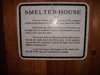
4. Smelter-House Description
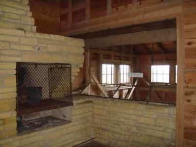
You are inside a reproduction of the original smelter-house that stood on this site from about 1833-1861.
Lead from the mines of southwest Wisconsin was brought here in ox-drawn wagons and melted in an iron kettle in the open fire place.
The molten lead was then poured through holes in the side of a ladle, down the 180 ft. shaft. As the particles of lead fell, they assumed a spherical shape and cooled slightly, forming shot.
A pool of water at the bottom of the shaft broke the fall of the shot and completed its cooling.
Credits. This page was last revised on December 7, 2021. It was originally submitted on September 6, 2010, by William J. Toman of Green Lake, Wisconsin. This page has been viewed 1,224 times since then and 85 times this year. Photos: 1, 2, 3, 4, 5, 6, 7, 8, 9. submitted on September 6, 2010, by William J. Toman of Green Lake, Wisconsin. 10. submitted on September 7, 2010, by William J. Toman of Green Lake, Wisconsin. • Bill Pfingsten was the editor who published this page.
