Placerville in El Dorado County, California — The American West (Pacific Coastal)
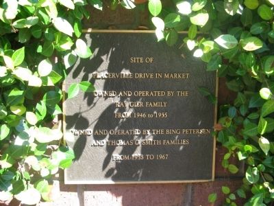
Site of Placerville Drive In Market
Ray Gier Family
From 1946 to 1955
Owned and operated by the Bing Peterson
and Thomas C. Smith Families
From 1955 to 1967
Topics. This historical marker is listed in this topic list: Industry & Commerce. A significant historical year for this entry is 1946.
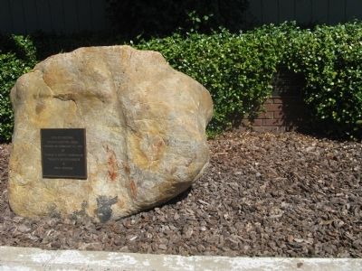
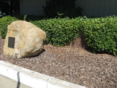
Location. 38° 43.658′ N, 120° 48.343′ W. Marker is in Placerville, California, in El Dorado County. Marker is on Main Street west of California Highway 49, on the right when traveling west. Marker is mounted on the brick retaining wall behind the “Site of Original Raley’s Grocery Store” marker and is obscured by bushes. It faces the street in front of the Coldwell Banker Real Estate office. Touch for map. Marker is at or near this postal address: 111 Main Street, Placerville CA 95667, United States of America. Touch for directions.
Other nearby markers. At least 8 other markers are within walking distance of this marker. Site of Original Raley’s Grocery Store (here, next to this marker); Sgt. J. Scott Lindsay (about 300 feet away, measured in a direct line); Snowshoe Thompson (about 700 feet away); Placerville Pony Express (about 700 feet away); John A. "Snowshoe" Thompson (about 800 feet away); Bayles Building (1853) (about 800 feet away); Three Unfortunates Hanged (approx. 0.2 miles away); Hangmans Tree (approx. 0.2 miles away). Touch for a list and map of all markers in Placerville.
Credits. This page was last revised on June 16, 2016. It was originally submitted on September 9, 2010, by Syd Whittle of Mesa, Arizona. This page has been viewed 980 times since then and 26 times this year. Photos: 1, 2, 3. submitted on September 9, 2010, by Syd Whittle of Mesa, Arizona.


