Conyers in Rockdale County, Georgia — The American South (South Atlantic)
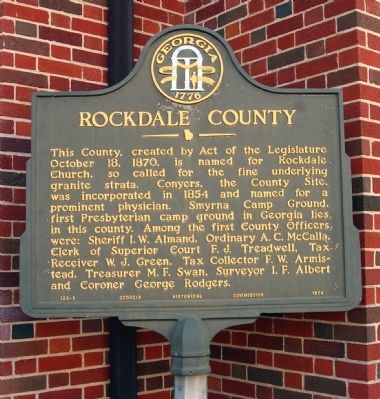
Rockdale County
Erected 1954 by Georgia Historical Commission. (Marker Number 122-1.)
Topics and series. This historical marker is listed in this topic list: Political Subdivisions. In addition, it is included in the Georgia Historical Society series list. A significant historical date for this entry is October 18, 1862.
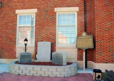
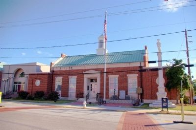
Location. 33° 40.057′ N, 84° 1.034′ W. Marker is in Conyers, Georgia, in Rockdale County. Marker is at the intersection of North Main Street and Center Street, on the right when traveling north on North Main Street. The marker stands at the entrance to the Rockdale County Courthouse. Touch for map. Marker is in this post office area: Conyers GA 30012, United States of America. Touch for directions.
Other nearby markers. At least 8 other markers are within walking distance of this marker. City of Conyers (about 400 feet away, measured in a direct line); Conyers Station (about 500 feet away); The Dinky (about 600 feet away); Unity Garden at Olde Town (about 700 feet away); Sherman at Conyers (approx. 0.2 miles away); “Fightin’ Joe” Wheeler (approx. 0.2 miles away); Conyers Methodist Church (approx. 0.2 miles away); Rev. Henry Quigg, D.D. (approx. 0.2 miles away). Touch for a list and map of all markers in Conyers.
Credits. This page was last revised on November 28, 2020. It was originally submitted on September 19, 2010, by David Seibert of Sandy Springs, Georgia. This page has been viewed 967 times since then and 20 times this year. Photos: 1, 2, 3. submitted on September 19, 2010, by David Seibert of Sandy Springs, Georgia. • Craig Swain was the editor who published this page.


