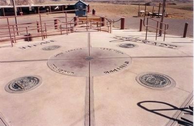
Near Teec Nos Pos in Apache County, Arizona — The American Mountains (Southwest)
Arizona
(Four Corners)
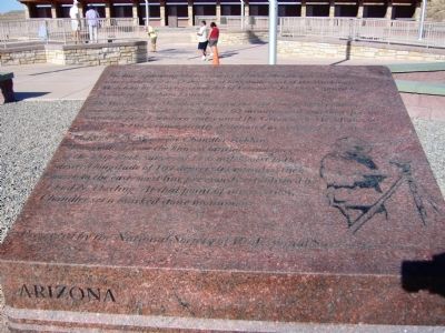
The Washington Meridian bisected the Old Naval Observatory dome at the longitude of 77 degrees 03 minutes, and was the referenced longitude for 11 western states until the Greenwich Meridian was adopted in 1912, conveniently designated as zero degrees longitude.
In 1875 U.S. Surveyor Chandler Robbins navigated from the known latitude and longitude of the Ship Rock, surveyed 11.6 miles west to the desired longitude of 109 degrees 03 minutes. Then north to the east-west line previously established by Ehud N. Darling. At that point of intersection, Chandler set a marked stone monument.
Erected 2010 by National Society of Professional Surveyors.
Topics and series. This historical marker is listed in this topic list: Notable Places. In addition, it is included in the Former U.S. Presidents: #16 Abraham Lincoln series list. A significant historical month for this entry is February 1905.
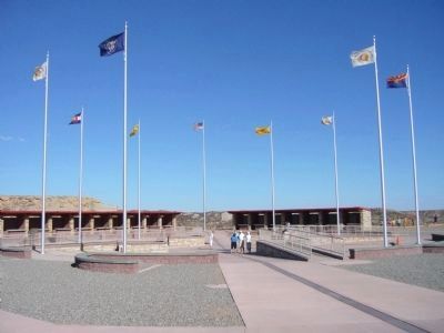
Location. 36° 59.942′ N, 109° 2.719′ W. Marker is near Teec Nos Pos, Arizona, in Apache County. Marker can be reached from 4 Corners Road, half a mile west of U.S. 160. Marker is located at the Four Corners Monument. Touch for map. Marker is in this post office area: Teec Nos Pos AZ 86514, United States of America. Touch for directions.
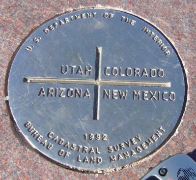
Other nearby markers. At least 6 other markers are within 12 miles of this marker, measured as the crow flies. Utah (a few steps from this marker in Utah); New Mexico (a few steps from this marker in New Mexico); Four Corners – A Common Bond (a few steps from this marker in New Mexico); Colorado (a few steps from this marker in Colorado); Welcome to Four Corners Monument! (approx. ¼ mile away in New Mexico); Beclabito Dome (approx. 11.7 miles away in New Mexico).
Regarding Arizona. This park is currently open 7 days a week 7:00am - 7:00pm (DST)
Park Fee:
$3.00 per person
Credits. This page was last revised on June 16, 2016. It was originally submitted on October 4, 2010, by Bill Kirchner of Tucson, Arizona. This page has been viewed 1,280 times since then and 33 times this year. Last updated on October 6, 2010, by Bill Kirchner of Tucson, Arizona. Photos: 1, 2, 3, 4. submitted on October 4, 2010, by Bill Kirchner of Tucson, Arizona. 5. submitted on October 5, 2010, by Mike Stroud of Bluffton, South Carolina. • Syd Whittle was the editor who published this page.
