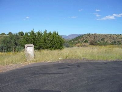
Near Globe in Gila County, Arizona — The American Mountains (Southwest)
McMillenville
Ghost Mining Camp
McMillenville
Ghost Mining Camp
In 1874 native silver was discovered in what became the fabulous Stonewall Jackson Ledge. This discovery brought boom conditions that lasted less than 10 years. An Indian attack on the camp was repulsed in 1882. Mine production ceased in the mid 1880's.
Erected by Arizona Development Board, Arizona Highway Department.
Topics. This historical marker is listed in these topic lists: Industry & Commerce • Settlements & Settlers. A significant historical year for this entry is 1874.
Location. Marker is missing. It was located near 33° 33.287′ N, 110° 40.738′ W. Marker was near Globe, Arizona, in Gila County. Marker was on U.S. 60 at milepost 265.1, on the right when traveling west. Touch for map. Marker was in this post office area: Globe AZ 85501, United States of America. Touch for directions.
Other nearby markers. At least 8 other markers are within 13 miles of this location, measured as the crow flies. Old Dominion Mine (approx. 12.1 miles away); Globe Mine Rescue Station (approx. 12.1 miles away); International House (approx. 12˝ miles away); The Hanging Tree (approx. 12˝ miles away); From Globe to Governor (approx. 12˝ miles away); St. John's Espiscopal Church (approx. 12.6 miles away); City of Globe (approx. 12.6 miles away); Cobre Valley Center for the Arts (approx. 12.6 miles away). Touch for a list and map of all markers in Globe.
More about this marker. Text from:
Historical Markers within the Arizona Department of Transportation Right of Way. Prepared by: Roadside Development Section, April 1, 1997
Credits. This page was last revised on August 29, 2020. It was originally submitted on October 12, 2010, by Bill Kirchner of Tucson, Arizona. This page has been viewed 1,293 times since then and 119 times this year. Photos: 1, 2. submitted on October 12, 2010, by Bill Kirchner of Tucson, Arizona. • Syd Whittle was the editor who published this page.

