Milford in Kent County, Delaware — The American Northeast (Mid-Atlantic)
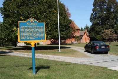
Milford
Erected 1966 by Public Archives Commission. (Marker Number K-29.)
Topics and series. This historical marker is listed in this topic list: Settlements & Settlers. In addition, it is included in the Delaware Public Archives series list. A significant historical year for this entry is 1787.
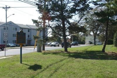
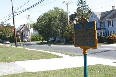
Location. 38° 54.791′ N, 75° 26.114′ W. Marker is in Milford, Delaware, in Kent County. Marker is on N Front Street (Delaware Route 14) near Maple Street, on the right when traveling west. Located at the driveway to Thorpe Mansion. Touch for map. Marker is in this post office area: Milford DE 19963, United States of America. Touch for directions.
Other nearby markers. At least 8 other markers are within walking distance of this marker. Parson Thorne Mansion (within shouting distance of this marker); Mispillion River Greenway Historical Sites (about 700 feet away, measured in a direct line); Temple Lodge No. 9 A.F. & A.M. (approx. 0.2 miles away); Joseph Oliver (approx. ¼ mile away); Christ Church (approx. ¼ mile away); The Vaules-Grier Home (approx. ¼ mile away); Bethel African Methodist Episcopal Church (approx. 0.3 miles away); The Towers (approx. 0.3 miles away). Touch for a list and map of all markers in Milford.
Also see . . . Milford, Delaware. a city in Kent and Sussex counties (Submitted on October 12, 2010, by Mike Stroud of Bluffton, South Carolina.)
Credits. This page was last revised on May 25, 2022. It was originally submitted on October 12, 2010, by Mike Stroud of Bluffton, South Carolina. This page has been viewed 873 times since then and 33 times this year. Photos: 1, 2, 3, 4. submitted on October 12, 2010, by Mike Stroud of Bluffton, South Carolina. 5. submitted on October 17, 2010, by Mike Stroud of Bluffton, South Carolina.


