Mount Pleasant in Charleston County, South Carolina — The American South (South Atlantic)
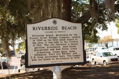
Riverside Beach / White's Paridise
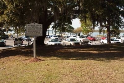
Riverside Beach, developed by the Cooper River Bridge Company, opened in 1930 as the first black beach in the area. It was sold to the County in 1941. The site featured a dance pavilion, boardwalk, bath house, playground and ball fields. Louis Armstrong, Count Basie, Duke Ellington, Ivory Joe Hunter, and B.B. King performed here. The County sold the beach to developers in 1975.
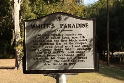
White's Paridise
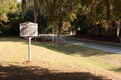
White’s Paradise located on Riverside Beach Road, now 5th Avenue, was the first black motel and nightclub East of the Cooper. The air conditioned motel and club, built by owner Henry White, operated from 1943 to 1975. Soul singer James Brown performed there before his hit “Papa Got A Brand New Bag.” The buildings were demolished in 1993.
Erected 2003 by The Town of Mount Pleasant.
Topics. This historical marker is listed in these topic lists: African Americans • Entertainment. A significant historical year for this entry is 1930.
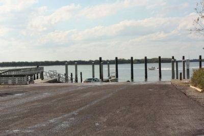
Location. 32° 48.774′ N, 79° 54.39′ W. Marker is in Mount Pleasant, South Carolina, in Charleston County. Marker is on 5th Avenue near On The Harbor Drive, on the right when traveling west. Located at Remley's Point Boat Landing. Touch for map. Marker is in this post office area: Mount Pleasant SC 29464, United States of America. Touch for directions.
Other nearby markers. At least 8 other markers are within one mile of this marker, measured as the crow flies. Old Sunken Hull / BG James Estcourt Sawyer (approx. ¾ mile away); The Cooper River Bridge / Silas N. Pearman Bridge (approx. 0.8 miles away); Silas N. Pearman Tower (approx. 0.8 miles away); Harry M. Hallman, Jr. (approx. 0.8 miles away); John P. Grace Tower (approx. 0.9 miles away); Arthur Ravenel, Jr. Bridge (approx. one mile away); One Hand Sanders / Prince's Ferry (approx. one mile away); Scanlonville (approx. 1.1 miles away). Touch for a list and map of all markers in Mount Pleasant.
Credits. This page was last revised on June 16, 2016. It was originally submitted on November 21, 2010, by Mike Stroud of Bluffton, South Carolina. This page has been viewed 2,011 times since then and 85 times this year. Photos: 1, 2, 3, 4, 5. submitted on November 21, 2010, by Mike Stroud of Bluffton, South Carolina.
