Ocilla in Irwin County, Georgia — The American South (South Atlantic)
Irwin County
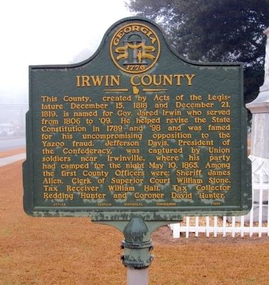
This County, created by Acts of the Legislature December 15, 1818 and December 21, 1819, is named for Gov. Jared Irwin who served from 1806 to ‘09. He helped revised the State Constitution in 1789 and ‘98 and was famed for his uncompromising opposition to the Yazoo fraud. Jefferson Davis, President of the Confederacy, was captured by Union soldiers near Irwinville, where his party had camped for the night May 10, 1865. Among the first County Officers were: Sheriff James Allen, Clerk of Superior Court William Stone, Tax Receiver William Hall, Tax Collector Redding Hunter and Coroner David Hunter.
Erected 1954 by Georgia Historical Commission. (Marker Number 077-1A.)
Topics and series. This historical marker is listed in this topic list: Political Subdivisions. In addition, it is included in the Georgia Historical Society series list. A significant historical date for this entry is May 10, 1867.
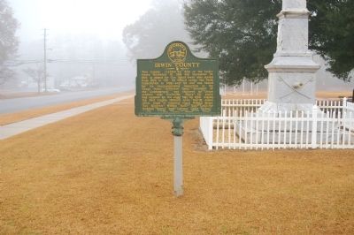
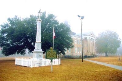
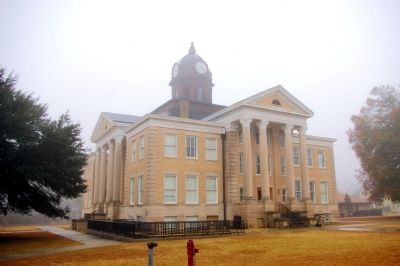
Location. 31° 35.522′ N, 83° 15.044′ W. Marker is in Ocilla, Georgia, in Irwin County. Marker is at the intersection of South Irwin Avenue (U.S. 129) and West 2nd Street, on the right when traveling south on South Irwin Avenue. The marker stands at the Irwin County Courthouse. Touch for map. Marker is in this post office area: Ocilla GA 31774, United States of America. Touch for directions.
Other nearby markers. At least 8 other markers are within 9 miles of this marker, measured as the crow flies. Confederate Memorial (a few steps from this marker); Veterans of All Wars Memorial (within shouting distance of this marker); Irwin County Veterans Memorial (within shouting distance of this marker); Jefferson Davis Memorial State Park (approx. 0.6 miles away); Dorminy's Meeting House Young's Meeting House Brushy Creek (approx. 3.4 miles away); First Baptist Church Bell (approx. 8.2 miles away); Fitzgerald Rotary Club (approx. 8.4 miles away); Portable Confinement Cage (approx. 8.4 miles away). Touch for a list and map of all markers in Ocilla.
Also see . . . Irwin County. New Georgia Encyclopedia website entry (Submitted on December 19, 2021, by Larry Gertner of New York, New York.)
Credits. This page was last revised on December 20, 2021. It was originally submitted on February 27, 2011, by David Seibert of Sandy Springs, Georgia. This page has been viewed 717 times since then and 20 times this year. Photos: 1, 2, 3, 4. submitted on February 27, 2011, by David Seibert of Sandy Springs, Georgia. • Bill Pfingsten was the editor who published this page.


