Lockeford in San Joaquin County, California — The American West (Pacific Coastal)
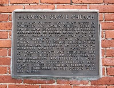
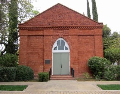
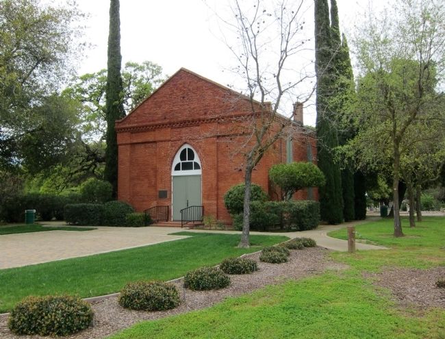
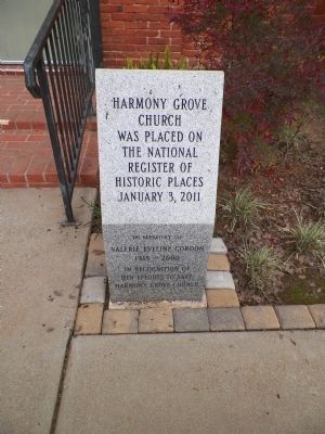
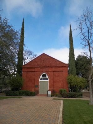
Harmony Grove Church
Erected 1982 by Native Daughters of the Golden West, Joaquin Parlor No. 5.
Topics and series. This historical marker is listed in this topic list: Churches & Religion. In addition, it is included in the Native Sons/Daughters of the Golden West series list. A significant historical year for this entry is 1859.
Location. 38° 8.829′ N, 121° 10.579′ W. Marker is in Lockeford, California, in San Joaquin County. Marker is at the intersection of E. Locke Road and Brandt Road, on the right when traveling west on E. Locke Road. Touch for map. Marker is at or near this postal address: 11455 E Locke Road, Lockeford CA 95237, United States of America. Touch for directions.
Other nearby markers. At least 8 other markers are within 6 miles of this marker, measured as the crow flies. The Deforce Sisters (about 300 feet away, measured in a direct line); Pioneer Hill / Lockeford (approx. 1.8 miles away); Survivors of Death Valley in 1849 (approx. 4 miles away); Hale Park (approx. 5.1 miles away); City Hall, Fire House and Jail (approx. 5.2 miles away); Lodi Mission Arch (approx. 5.3 miles away); Old Lodi (Mokelumne Station) (approx. 5.3 miles away); Lodi Arch (approx. 5.3 miles away). Touch for a list and map of all markers in Lockeford.
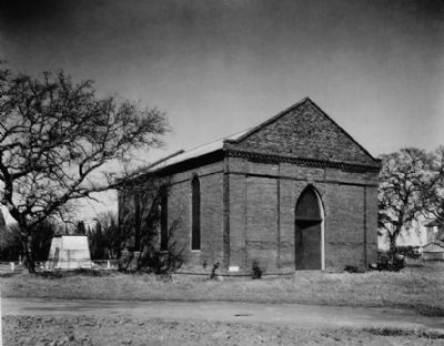
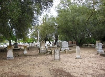
Also see . . . Harmony Grove Church's Restoration Records. The Online Archives of California's description of the papers relating to the restoration of the church provide additional information: In 1965, a century-old abandoned Methodist Episcopal Church, located at Harmony Grove Cemetery near Lockeford, Calif., faced demolition after a developer purchased the land. Recognizing the historical significance of the structure and property, many interested people, including members of the Lockeford-Clements Woman's Club, successfully circulated a petition both to stop development and to restore the old brick church. The Lockeford-Clements Woman's Club received state and national citations for spearheading the campaign
to save the church. In September 1967 County Supervisors and property owner, Lloyd Dawson of Lodi, reached an agreement whereby Dawson deeded the church and part of the surrounding property to San Joaquin County,.... (Submitted on April 3, 2011.)
Credits. This page was last revised on June 16, 2016. It was originally submitted on April 3, 2011, by Andrew Ruppenstein of Lamorinda, California. This page has been viewed 1,164 times since then and 90 times this year. Photos: 1, 2, 3, 4, 5. submitted on April 3, 2011, by Andrew Ruppenstein of Lamorinda, California. 6, 7. submitted on March 18, 2015, by James King of San Miguel, California. • Syd Whittle was the editor who published this page.
