Milford in Kent County, Delaware — The American Northeast (Mid-Atlantic)
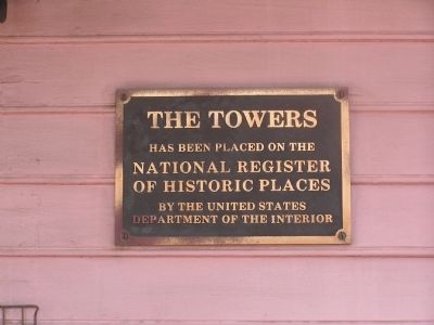
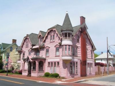
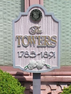
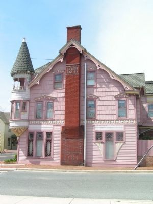
The Towers
20 Church Street
has been placed on the
National Register
of Historic Places
by the United States
Department of the Interior
Topics. This historical marker is listed in this topic list: Architecture.
Location. 38° 54.867′ N, 75° 25.767′ W. Marker is in Milford, Delaware, in Kent County. Marker is at the intersection of NE Front Street and North Street on NE Front Street. Touch for map. Marker is at or near this postal address: 20 Church Street, Milford DE 19963, United States of America. Touch for directions.
Other nearby markers. At least 8 other markers are within walking distance of this marker. Site of the Home of General Alfred T.A. Torbert (about 500 feet away, measured in a direct line); Site of Milford's First Methodist Church (about 600 feet away); Christ Church (about 700 feet away); Joseph Oliver (about 700 feet away); Causey House (approx. 0.2 miles away); Liberty Tree Memorial (approx. 0.2 miles away); Major General Alfred T.A. Torbert (approx. 0.2 miles away); a different marker also named Major General Alfred T.A. Torbert (approx. 0.2 miles away). Touch for a list and map of all markers in Milford.
Credits. This page was last revised on June 1, 2023. It was originally submitted on April 21, 2011, by Nathan Davidson of Salisbury, Maryland. This page has been viewed 659 times since then and 28 times this year. Photos: 1, 2, 3, 4. submitted on April 21, 2011, by Nathan Davidson of Salisbury, Maryland. • Bill Pfingsten was the editor who published this page.


