East Springfield in Otsego County, New York — The American Northeast (Mid-Atlantic)
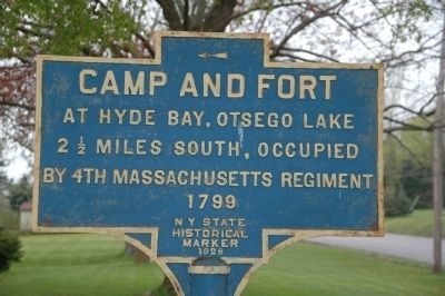
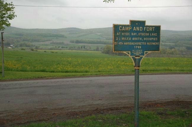
Camp and Fort
At Hyde Bay, Otsego Lake
2½ miles south, occupied
by 4th Massachusetts Regiment
1799
Erected 1928 by New York State.
Topics. This historical marker is listed in these topic lists: Forts and Castles • War, US Revolutionary. A significant historical year for this entry is 1799.
Location. 42° 49.982′ N, 74° 49.772′ W. Marker is in East Springfield, New York, in Otsego County. Marker is at the intersection of U.S. 20 and Continental Road on U.S. 20. Touch for map. Marker is in this post office area: East Springfield NY 13333, United States of America. Touch for directions.
Other nearby markers. At least 8 other markers are within 4 miles of this marker, measured as the crow flies. General James Clinton (a few steps from this marker); First Church (approx. ¼ mile away); Toll Gate (approx. 0.7 miles away); Log School (approx. 0.8 miles away); Spalsbury Farm (approx. 1.9 miles away); Hyde Hall Covered Bridge (approx. 3.4 miles away); a different marker also named Hyde Hall Covered Bridge (approx. 3½ miles away); Hyde Hall (approx. 3½ miles away). Touch for a list and map of all markers in East Springfield.
Regarding Camp and Fort. The date 1799 appearing on the marker appears to be in error. It should be 1779.
Additional keywords. Sullivan Campaign
Credits. This page was last revised on June 16, 2016. It was originally submitted on May 15, 2011, by Howard C. Ohlhous of Duanesburg, New York. This page has been viewed 799 times since then and 27 times this year. Photos: 1, 2. submitted on May 15, 2011, by Howard C. Ohlhous of Duanesburg, New York. • Bill Pfingsten was the editor who published this page.

