Rose Hill in Lee County, Virginia — The American South (Mid-Atlantic)
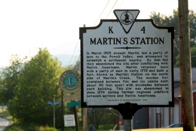
Martinís Station
Erected 2003 by Department of Historic Resources. (Marker Number K-4.)
Topics and series. This historical marker is listed in this topic list: Settlements & Settlers. In addition, it is included in the Virginia Department of Historic Resources (DHR) series list. A significant historical month for this entry is March 1769.
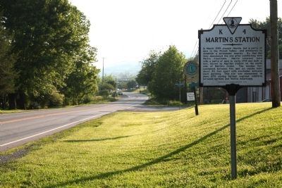
Location. 36° 40.641′ N, 83° 21.288′ W. Marker is in Rose Hill, Virginia, in Lee County. Marker is on Daniel Boone Trail (Business U.S. 58) just west of Bypass U.S. 58, on the right when traveling west. Touch for map. Marker is in this post office area: Rose Hill VA 24281, United States of America. Touch for directions.
Other nearby markers. At least 8 other markers are within 9 miles of this marker, measured as the crow flies. Indian Mound (approx. 3 miles away); Daniel Boone Trail (approx. 3 miles away); William H. Starnes: Agricultural Educator (approx. 3.8 miles away); Hiking Up to White Rocks (approx. 4.8 miles away); White Rocks (approx. 5.7 miles away); John Ball (approx. 6.3 miles away); Lee County Code Breakers (approx. 8.1 miles away); Thompson Settlement Church (approx. 8.9 miles away).
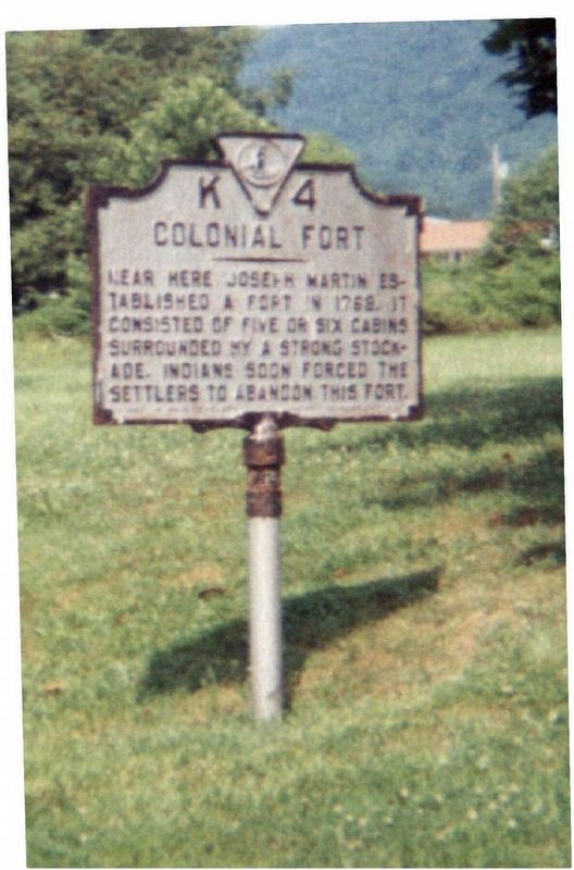
More about this marker. This marker replaced a marker erected in the early 1930s with the same number but titled “Colonial Fort.” It read, “Near here Joseph Martin established a fort in 1768. It consisted of five or six cabins surrounded by a strong stockade. Indians soon forced the settlers to abandon this fort.”
Also see . . . Revolutionary War—Martinís Station Fort—Lee County, VA. “For the 200 miles of the course of the road through the wilderness, there was neither Indian nor white settlement. There was no base of supplies and no refuge, save only at one spot, and that was Martinís Station in Powell Valley. That was what made Martinís services in the establishing of his station along the Wilderness Road so important.” (Submitted on July 8, 2011.)
Credits. This page was last revised on June 2, 2017. It was originally submitted on July 8, 2011, by J. J. Prats of Powell, Ohio. This page has been viewed 1,487 times since then and 232 times this year. Photos: 1, 2. submitted on July 8, 2011, by J. J. Prats of Powell, Ohio. 3. submitted on June 2, 2017.


