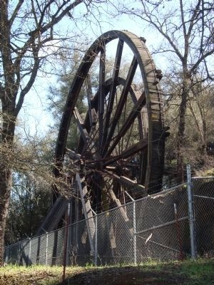
Jackson in Amador County, California — The American West (Pacific Coastal)
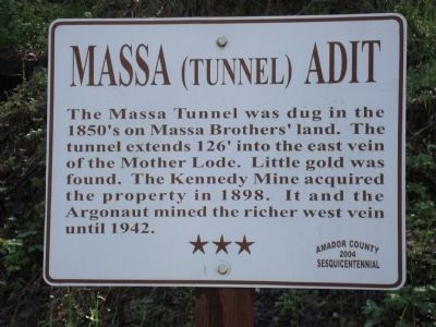
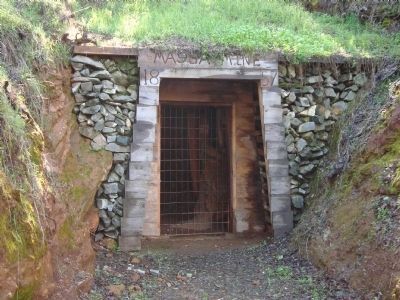
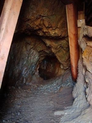
Massa (Tunnel) Adit
Erected 2004 by Amador County Sesquicentennial Commission.
Topics and series. This historical marker is listed in these topic lists: Bridges & Viaducts • Industry & Commerce. In addition, it is included in the California - Sutter Creek Gold Mine Trail series list. A significant historical year for this entry is 1898.
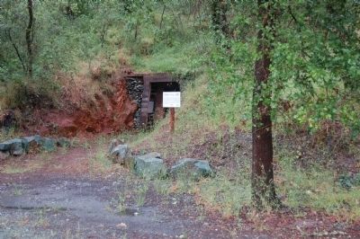
Location. 38° 21.895′ N, 120° 46.576′ W. Marker is in Jackson, California, in Amador County. Marker can be reached from North Main Street/Jackson Gate Road. The Massa Adit marker is about 200 yards down the trail from the Kennedy Mine marker. Touch for map. Marker is at or near this postal address: 1105 North Main Street, Jackson CA 95642, United States of America. Touch for directions.
Other nearby markers. At least 8 other markers are within walking distance of this marker. Kennedy Mine Tailings Wheels (about 500 feet away, measured in a direct line); Kennedy Mine (about 500 feet away); A. Chichizola Store (about 800 feet away); Kennedy Mine Headframe (approx. 0.3 miles away); Kennedy Mining and Milling Company (approx. 0.3 miles away); Amador County Veterans' Memorial (approx. 0.6 miles away); The Kennedy Mine / The Argonaut Mine (approx. 0.6 miles away); Argonaut and Kennedy Mines (approx. 0.6 miles away). Touch for a list and map of all markers in Jackson.
Credits. This page was last revised on August 17, 2020. It was originally submitted on July 13, 2011, by Barry Swackhamer of Brentwood, California. This page has been viewed 962 times since then and 49 times this year. Photos: 1, 2, 3, 4, 5. submitted on July 13, 2011, by Barry Swackhamer of Brentwood, California. • Syd Whittle was the editor who published this page.
