Governors Island in Manhattan in New York County, New York — The American Northeast (Mid-Atlantic)
The New York Arsenal
Governors Island
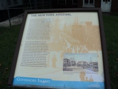
In 1832, the US War Department moved the New York Arsenal to Governors Island. The arsenal was part of the Ordnance Department of the Army and was considered its own Army post, functioning separately from Fort Jay. The New York Arsenal did not manufacture arms, but its staff inspected, purchased and took delivery of arms and artillery from private contractors. The arsenal also functioned as a warehouse and as a distribution center of arms to Army posts across the country. During non-combat years, the arsenal yards held excess artillery and cannon balls to be redistributed to other posts, given away to small towns to become war memorials, or sold as scrap metal or slightly “used” weapons to other countries.
The arsenal was established on 6.5 acres in and around the area now occupied by Pershing Hall. The location was behind and downhill from Fort Jay, allowing a clear field of fire from the fortís cannons. After the Civil War, the fields of fire were no longer required, and the arsenal expanded along the Islandís north shore toward Castle Williams. The arsenal buildings are some of the oldest on the Island and include Quarters 135, the residence for the New York Arsenalís commanding officer and Buildings 104, 105, 107, 109, 110 and 140, to either side of the ferry dock, which served as offices and storehouses. Following World War I, the arsenal was closed and its functions transferred to the Raritan Arsenal, New Jersey.
Topics. This historical marker is listed in this topic list: Military. A significant historical year for this entry is 1832.
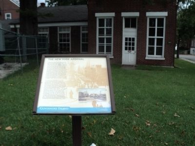
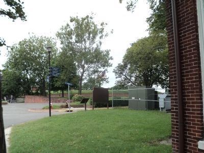
Location. 40° 41.475′ N, 74° 0.872′ W. Marker is in Manhattan, New York, in New York County. It is on Governors Island. Marker is at the intersection of Andes Road and Quadrangle Road, on the left when traveling south on Andes Road. Marker is located on Governors Island, near the entrance to Fort Jay. Touch for map. Marker is in this post office area: New York NY 10004, United States of America. Touch for directions.
Other nearby markers. At least 8 other markers are within walking distance of this marker. Pershing Hall (within shouting distance of this marker); Fort Jay (within shouting distance of this marker); a different marker also named Pershing Hall (within shouting distance of this marker); a different marker also named Fort Jay (about 300 feet away, measured in a direct line); Students and Soldiers of Freedom (about 300 feet away); The Pershing Oak (about 300 feet away); Governors Island (about 300 feet away); The Governorís House (about 400 feet away). Touch for a list and map of all markers in Manhattan.
More about this marker. The bottom right of the marker contains a picture of Headquarters and New York Arsenal, Governorís Island, N.Y. It includes a caption of “The arsenal is seen here from near Pier 101, the historic point of arrival to Governors Island.”
Also see . . .
1. The Trust for Governors Island. Website homepage (Submitted on September 15, 2011, by Bill Coughlin of Woodland Park, New Jersey.)
2. Governors Island National Monument. National Park Service website. (Submitted on September 15, 2011, by Bill Coughlin of Woodland Park, New Jersey.)
Credits. This page was last revised on February 19, 2024. It was originally submitted on September 15, 2011, by Bill Coughlin of Woodland Park, New Jersey. This page has been viewed 476 times since then and 20 times this year. Photos: 1, 2, 3. submitted on September 15, 2011, by Bill Coughlin of Woodland Park, New Jersey.


