Grand Haven in Ottawa County, Michigan — The American Midwest (Great Lakes)
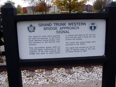
Grand Trunk Western Bridge Approach Signal
Inscription.
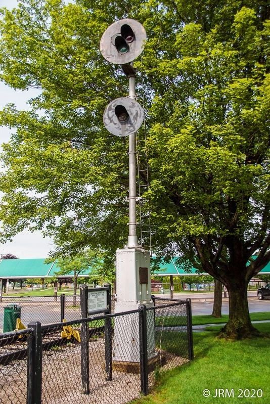
This signal for many years guarded the east-end approach to the Grand Trunk Western Swing Bridge over the entrance to the Spring Lake channel.
This electrified signal with its colored lights indicated to the engineer of the train whether the bridge was open to water traffic or closed and lined up for railroad and was safe to bring the train across the bridge.
The tracks and swing bridge were removed in 1970's.
The signal was donated by the Village of Spring Lake to the City of Grand Haven in 1981.
Topics. This historical marker is listed in this topic list: Railroads & Streetcars. A significant historical year for this entry is 1981.
Location. 43° 4.042′ N, 86° 13.729′ W. Marker is in Grand Haven, Michigan, in Ottawa County. Marker is on Jackson Street near North Second Street. Touch for map. Marker is in this post office area: Grand Haven MI 49417, United States of America. Touch for directions.
Other nearby markers. At least 8 other markers are within walking distance of this marker. Pere Marquette Steam Locomotive (a few steps from this marker); Pere Marquette Auto Box Car No 72222 (a few steps from this marker); Pere Marquette Caboose No. A-986 (within shouting distance of this marker); Grand Trunk Western Standard Coaling Tower (within shouting distance of this marker); Grand Trunk Western, Wood Caboose No. 77915 (within shouting distance of this marker); Model 5 Autoflag "Wig-Wag" Crossing Signal (about 500 feet away, measured in a direct line); First Reformed Church (approx. ¼ mile away); Akeley Building (approx. ¼ mile away). Touch for a list and map of all markers in Grand Haven.
Photographed By Christopher Light, October 20, 2004
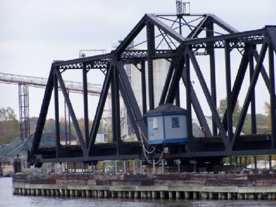
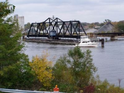
2. Central Pivot railroad bridge over the Grand River
The main channel of the Grand River is between Harbor Island and Ferrysburg. You can reach the bridge from the markers but taking North 3rd street (corner just east of the marker site) north, across the south channel of the river onto Harbor Island. The road twists around a bit. It straightens at Coho Drive, which goes north to a park on the main channel. The bridge is visible but hard to see from here. Continue east on Coho Dr and circle under U.S. 31. From under U.S. 31 at it's bridge over the North Channel, there is a good view of the bridge.
Photographed By Christopher Light, October 20, 2006
3. Grand Trunk Western Bridge Approach Signal Marker
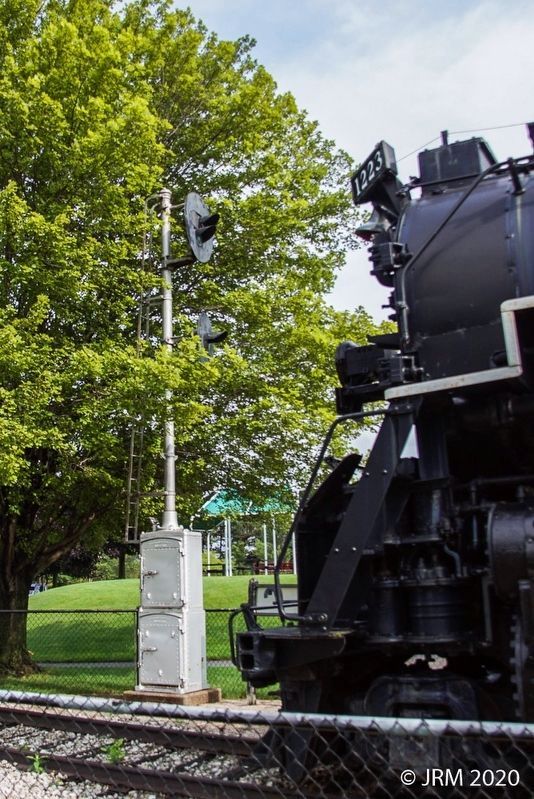
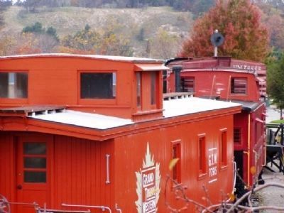
The Signal can be seen above the train on the right.
The entire display is located on new tracks laid for this purpose. Original rail lines are still in use as the picture of the bridge shows. The riverfront rails have been removed and the warehouse area renovated and a boat basin built.
Photographed By Christopher Light, October 20, 2004
6. Grand River Center Pivot RR Bridge
This may not be the 'swing bridge' referenced in the text of the marker. I think it is as it is the only railroad crossing of the Grand River. It's technically between Grand Haven and Ferrysburg. There is a bridge over the Spring Lake channel between Ferrysburg and Spring Lake. I thought it was a fixed span. Both are still in use, which does not fit the text reference to the tracks being removed.
Credits. This page was last revised on August 4, 2020. It was originally submitted on January 17, 2008, by Christopher Light of Valparaiso, Indiana. This page has been viewed 2,354 times since then and 33 times this year. Photos: 1, 2. submitted on January 17, 2008, by Christopher Light of Valparaiso, Indiana. 3. submitted on May 27, 2008, by Christopher Light of Valparaiso, Indiana. 4, 5. submitted on August 4, 2020, by Lugnuts of Germantown, Wisconsin. 6. submitted on January 17, 2008, by Christopher Light of Valparaiso, Indiana. • Kevin W. was the editor who published this page.
