Near Rhyolite in Nye County, Nevada — The American Mountains (Southwest)
Rhyolite's District of Shadows
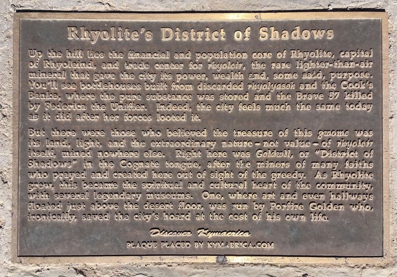
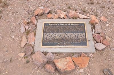
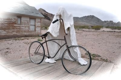
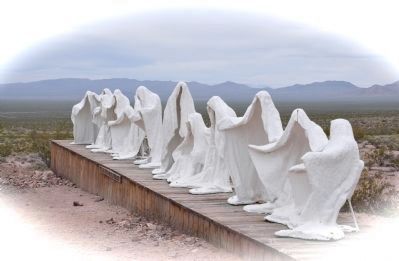
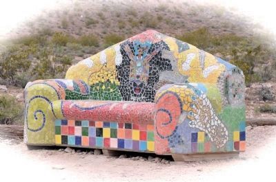
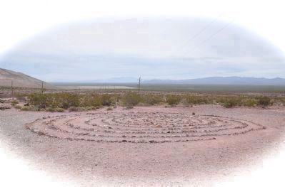
But there were those who believed the treasure of this gwome was its land, light, and the extraordinary nature--not value--of rhyloeir itself, mined nowhere else. Right here was Geldwll, or "District of Shadows" in the Cognate tongue, after the miners of many faiths who prayed and created here out of sight of the greedy. As Rhyolite grew, this became the spiritual and cultural heart of the community, with several legendery museums. One, where art and even hallways floated just above the desert floor, was run by Porfire Golden who, ironically, saved the city's hoard at the cost of his own life.
Erected 2006 by Discover Kymaerica - kymaerica.com.
Topics. This historical marker is listed in this topic list: Arts, Letters, Music.
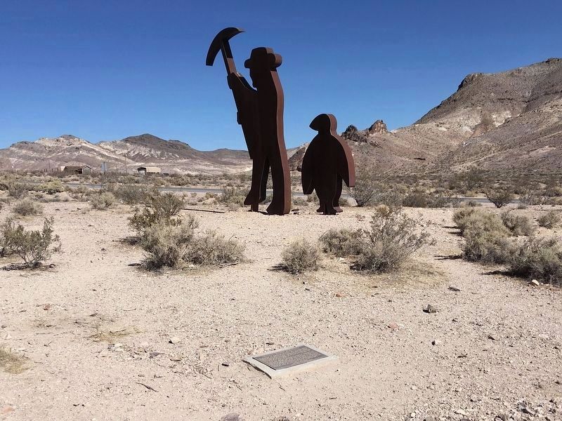
Location. 36° 53.703′ N, 116° 49.819′ W. Marker is near Rhyolite, Nevada, in Nye County. Marker can be reached from Rhyolite Road, 1.1 miles north of Nevada Route 374, on the left when traveling north. Marker is located at the Goldwell Open Air Museum, south of Rhyolite. Touch for map. Marker is in this post office area: Beatty NV 89003, United States of America. Touch for directions.
Other nearby markers. At least 8 other markers are within 4 miles of this marker, measured as the crow flies. Tom Kelly Bottle House (approx. 0.2 miles away); Welcome to Rhyolite (approx. 0.2 miles away); Rhyolite (approx. 0.4 miles away); Cook Bank Building (approx. 0.4 miles away); Rhyolite Train Depot (approx. 0.6 miles away); Titus Canyon Road (approx. 2.7 miles away); Desert Hills Cemetery (approx. 3.8 miles away); 1921 Fordson Tractor (approx. 3.9 miles away). Touch for a list and map of all markers in Rhyolite.
Also see . . .
1. Rhyolite’s District of Shadows. (Submitted on September 2, 2020, by Craig Baker of Sylmar, California.)
2. Rhyolite Ghost Town. — The true story of Rhyolite. (Submitted on September 2, 2020, by Craig Baker of Sylmar, California.)
Credits. This page was last revised on April 13, 2022. It was originally submitted on December 30, 2011, by Michael Kindig of Elk Grove, California. This page has been viewed 952 times since then and 35 times this year. Last updated on November 10, 2020, by Craig Baker of Sylmar, California. Photos: 1. submitted on October 29, 2020, by Craig Baker of Sylmar, California. 2. submitted on December 30, 2011, by Michael Kindig of Elk Grove, California. 3. submitted on October 29, 2020, by Craig Baker of Sylmar, California. 4, 5, 6, 7, 8, 9, 10. submitted on December 30, 2011, by Michael Kindig of Elk Grove, California. • Syd Whittle was the editor who published this page.
