Ogilby in Imperial County, California — The American West (Pacific Coastal)
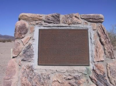
Obregon
In early 1989, American Girl Mining Joint Venture received the necessary governmental approvals to resume open pit and underground mining operations in American Girl Canyon. Prior to startup of these operations the remains of the original Obregon townsite were thoroughly documented, and 5 graves circa 1892 were relocated to the Holtville Cemetery.
Erected 1990 by American Girl Mining Joint Venture in cooperation with the Bureau of Land Management and the Imperial County Historical Society.
Topics. This historical marker is listed in these topic lists: Industry & Commerce • Settlements & Settlers. A significant historical year for this entry is 1913.
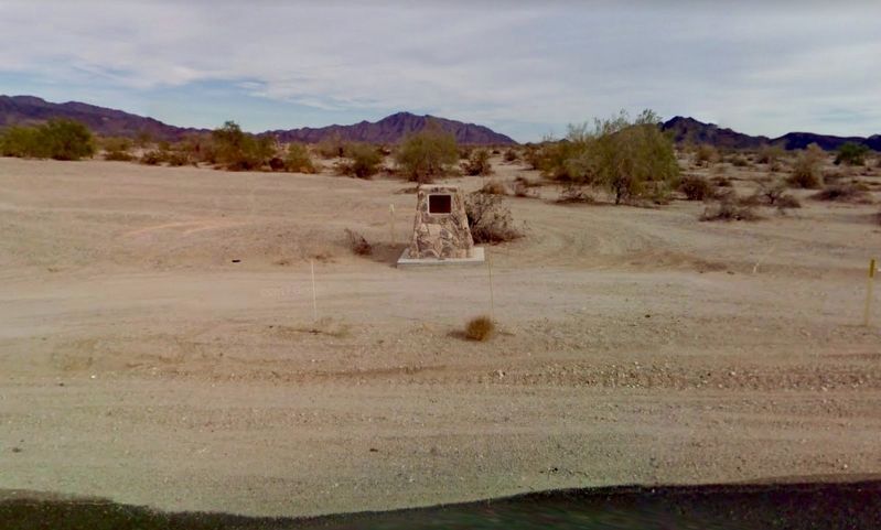
Location. 32° 49.152′ N, 114° 50.257′ W. Marker is in Ogilby, California, in Imperial County. Marker is on Blythe Ogilby Road (County Highway S34), on the left when traveling south. Touch for map. Marker is in this post office area: Winterhaven CA 92283, United States of America. Touch for directions.
Other nearby markers. At least 8 other markers are within 10 miles of this marker, measured as the crow flies. Tumco (approx. 4.6 miles away); The Island of California (approx. 6.3 miles away); Site of Camp Pilot Knob (approx. 6.7 miles away); The Plank Road (approx. 9 miles away); Hernando De Alarcon Expedition - 1540 (approx. 9 miles away); a different marker also named Plank Road (approx. 9 miles away); a different marker also named Plank Road (approx. 9 miles away); Mormon Battalion Crossing / Colorado River Crossing (approx. 10 miles away in Arizona).
Credits. This page was last revised on May 3, 2018. It was originally submitted on January 13, 2012, by Michael Kindig of Elk Grove, California. This page has been viewed 1,014 times since then and 210 times this year. Photos: 1. submitted on January 13, 2012, by Michael Kindig of Elk Grove, California. 2. submitted on April 27, 2018, by Craig Baker of Sylmar, California. • Syd Whittle was the editor who published this page.

